|
search place name
|
||
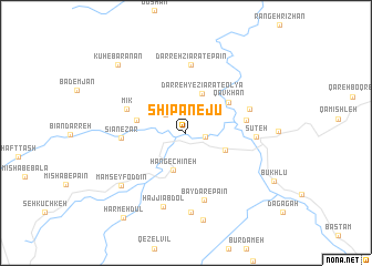
Shīpānejū (Kordestān, Iran)Shīpānejū is a town in the Kordestān region of Iran. An overview map of the region around Shīpānejū is displayed below.
regional and 3d topo map of Shīpānejū, Iran ::
Shīpānejū airports ::
The nearest airport is SDG - Sanandaj, located 103.8 km south east of Shīpānejū.
Other airports nearby include KSH - Bakhtaran Shahid Ashrafi Esfahani (196.4 km south east), Nearby towns ::
Seyf Ţāleh (1.7km east) //
Sarājgāh (2.5km north west) //
Hang-e Chīneh (3.9km south) //
Darreh-ye Zīārat-e ‘Olyā (4.2km north) //
Kāvmeleh (3.7km south east) //
Qāmīshleh (4.2km west) //
Qāvkhān (4.7km north east) //
Doāb (5.1km east) //
Mīk (5.4km north west) //
Sīānezār (5.3km west) //
Darreh Vazān-e Jadīd (5.7km north east) //
Darreh Zīārat-e Pāʼīn (6.8km north) //
Bāydar-e Pā'īn (6.9km south) //
Sūteh (5.7km east) //
Ḩājjī ‘Abdol (7.6km south) //
Bāyder (8.0km south) //
Mām Seyf od Dīn (7.5km south west) //
Bāydar-e Bālā (8.9km south) //
Kūh-e Barānān (8.8km north west) //
Būkhlū (8.7km south east) //
Harmeh Dūl (10.0km south west) //
[all distances 'as the bird flies' and approximate] 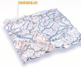
Disclaimer :: Information on this page comes without warranty of any kind |
||
|
Where is Shīpānejū? Elevation and coordinates ::
Latitude (lat): 35°57'19"N Longitude (lon): 46°15'42"E
Elevation (approx.): 1569m (map arrows pan, magnifying glasses zoom) |
||
|
Visiting Shīpānejū? Hotel/Accommodation ::
Book a hotel in Shīpānejū Travel Guide ::
Buy a travel guide for Iran rental cars ::
car rental offers GPS waypoint ::
download a GPX waypoint (PoI) of Shīpānejū for your GPS receiver
|
||