|
search place name
|
||
Shīsh Qīl (Eşfahān, Iran)Shīsh Qīl is a town in the Eşfahān region of Iran. An overview map of the region around Shīsh Qīl is displayed below.
regional and 3d topo map of Shīsh Qīl, Iran ::
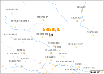
Nearby towns ::
Garmābād (2.3km north) //
Pīr Esfaneh (3.3km south) //
Hormozābād (2.9km west) //
Varaq (5.4km south east) //
Tall Jangī (5.7km south) //
Tang-e Āhan (6.7km north west) //
‘Alīābād (7.9km south east) //
Kāsegān-e Bālā (8.2km south) //
Sīāh Gelak (8.3km south) //
Deh Kord (8.2km south east) //
Cheshmeh Sard (8.3km south east) //
[all distances 'as the bird flies' and approximate] 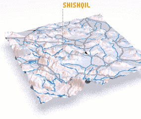 Places with similar names to Shīsh Qīl, Iran ::
Disclaimer :: Information on this page comes without warranty of any kind |
||
|
Where is Shīsh Qīl? Elevation and coordinates ::
Latitude (lat): 31°44'47"N Longitude (lon): 51°29'41"E
Elevation (approx.): 2344m (map arrows pan, magnifying glasses zoom) |
||
|
Visiting Shīsh Qīl? Hotel/Accommodation ::
Book a hotel in Shīsh Qīl Travel Guide ::
Buy a travel guide for Iran rental cars ::
car rental offers GPS waypoint ::
download a GPX waypoint (PoI) of Shīsh Qīl for your GPS receiver
|
||