|
search place name
|
||
Shorangrang (Ostān-e Kohgīlūyeh va Būyer Aḩmad, Iran)Shorangrang is a town in the Ostān-e Kohgīlūyeh va Būyer Aḩmad region of Iran. An overview map of the region around Shorangrang is displayed below.
regional and 3d topo map of Shorangrang, Iran ::

Shorangrang airports ::
The nearest airport is QMJ - Masjed Soleiman Shahid Asyaee, located 135.8 km north west of Shorangrang.
Other airports nearby include MRX - Bandar Mahshahr Mahshahr (150.7 km south west), AWZ - Ahwaz (161.4 km west), Nearby towns ::
Fārteq (3.6km south) //
Darreh Zard (4.0km south) //
Darvār (4.0km south) //
Golestān (5.9km south) //
Bongīr (6.0km south) //
Dīshmūk (6.6km south west) //
Rūjak (7.9km south) //
Sar Rīsh (8.4km south) //
Mazra‘eh-ye Anjīr (8.3km south) //
Sartal-e Tīghāb (8.2km south west) //
Leh Ḩowẕ (8.8km south east) //
Deh Qāẕī (9.0km south west) //
Sartal (9.6km south west) //
Darreh Gerūh Bālā (11.3km south west) //
[all distances 'as the bird flies' and approximate] 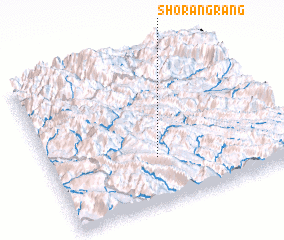 Places with similar names to Shorangrang, Iran ::
// Siarangarang (ID)
Disclaimer :: Information on this page comes without warranty of any kind |
||
|
Where is Shorangrang? Elevation and coordinates ::
Latitude (lat): 31°19'5"N Longitude (lon): 50°27'29"E
Elevation (approx.): 2338m (map arrows pan, magnifying glasses zoom) |
||
|
Visiting Shorangrang? Hotel/Accommodation ::
Book a hotel in Shorangrang Travel Guide ::
Buy a travel guide for Iran rental cars ::
car rental offers GPS waypoint ::
download a GPX waypoint (PoI) of Shorangrang for your GPS receiver
|
||