|
search place name
|
||
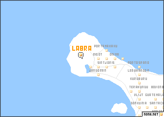
Labra (Netherlands Antilles)Labra is a town in Netherlands Antilles. An overview map of the region around Labra is displayed below.
regional and 3d topo map of Labra, Netherlands Antilles ::
Labra airports ::
The nearest airport is BON - Kralendijk Flamingo, located 18.1 km south east of Labra.
Other airports nearby include CUR - Willemstad Hato (63.1 km west), CZE - Coro Jose Leonardo Chirinos (169.0 km south west), AUA - Oranjestad Reina Beatrix Intl (179.6 km west), PBL - Puerto Cabello General Bartolome Salom Intl (198.6 km south), Nearby towns ::
Riscado (2.6km south east) //
Rigot (3.6km east) //
Santa Cruz (4.1km south east) //
Jan Doran (5.2km south east) //
Republiek (5.4km east) //
Sint Joris (5.7km east) //
Benesuela (5.7km east) //
Dorp Rincón (5.7km east) //
Para Mira (5.7km east) //
Porta Makaku (5.7km east) //
Sabaneta (5.7km east) //
Buena Vista (7.2km east) //
Onima (7.2km east) //
Kokorobi (7.5km east) //
Botele (7.5km east) //
[all distances 'as the bird flies' and approximate] 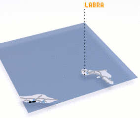 Places with similar names to Labra, Netherlands Antilles ::
Disclaimer :: Information on this page comes without warranty of any kind |
||
|
Where is Labra? Elevation and coordinates ::
Latitude (lat): 12°15'0"N Longitude (lon): 68°23'0"W
Elevation (approx.): 18m (map arrows pan, magnifying glasses zoom) |
||
|
Visiting Labra? Hotel/Accommodation ::
Book a hotel in Labra Travel Guide ::
rental cars ::
car rental offers GPS waypoint ::
download a GPX waypoint (PoI) of Labra for your GPS receiver
|
||