|
search place name
|
||
Sīrīnū'īyeh (Kermān, Iran)Sīrīnū'īyeh is a town in the Kermān region of Iran. An overview map of the region around Sīrīnū'īyeh is displayed below.
regional and 3d topo map of Sīrīnū'īyeh, Iran ::

Sīrīnū'īyeh airports ::
The nearest airport is KER - Kerman, located 130.7 km north of Sīrīnū'īyeh.
Other airports nearby include BND - Bandar Abbass Intl (216.7 km south), Nearby towns ::
Fīrūz (1.1km north) //
Darreh Bāft (1.2km north west) //
Rīq (1.5km south) //
Halīl Rūd (1.8km south) //
Koldān (2.3km north) //
Gardūn (2.2km east) //
Sar-e Now (2.5km south east) //
Padeh Boland (3.3km south) //
Padeh Boland (3.9km south east) //
Jūybādām (4.4km north) //
Rīg (4.0km east) //
Gazūy (4.7km north east) //
Tan Tazūk (5.5km south east) //
Gozū'īyeh (5.8km north) //
Baneh Sūkhteh (5.9km south) //
Godār Lardī (5.8km north east) //
Deh Valak (6.9km south) //
Bāb Bīd-e Pā'īn (7.0km north west) //
Meydān (7.6km north) //
Meshk Ābdān (7.9km north) //
Shīrīnak (7.9km south east) //
Jangalābād (8.8km south) //
Bāb Bīd-e Bālā (9.3km north west) //
Seghīn (10.8km north east) //
[all distances 'as the bird flies' and approximate] 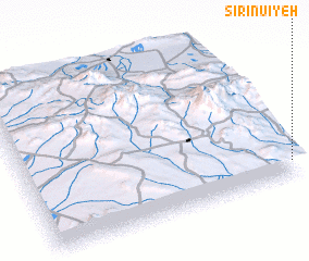 Places with similar names to Sīrīnū'īyeh, Iran ::
Disclaimer :: Information on this page comes without warranty of any kind |
||
|
Where is Sīrīnū'īyeh? Elevation and coordinates ::
Latitude (lat): 29°5'45"N Longitude (lon): 56°59'41"E
Elevation (approx.): 1880m (map arrows pan, magnifying glasses zoom) |
||
|
Visiting Sīrīnū'īyeh? Hotel/Accommodation ::
Book a hotel in Sīrīnū'īyeh Travel Guide ::
Buy a travel guide for Iran rental cars ::
car rental offers GPS waypoint ::
download a GPX waypoint (PoI) of Sīrīnū'īyeh for your GPS receiver
|
||