|
search place name
|
||
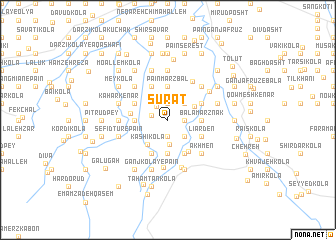
Şūrat (Iran)Şūrat is a town in Iran. An overview map of the region around Şūrat is displayed below.
regional and 3d topo map of Şūrat, Iran ::
Şūrat airports ::
The nearest airport is THR - Teheran Mehrabad Intl, located 143.0 km south west of Şūrat.
Other airports nearby include RZR - Ramsar (185.6 km west), Nearby towns ::
Zarīvarān (1.9km south) //
Aḩmad Kolā (1.9km south) //
Kelāger Kolā (1.9km south) //
Kord Maḩalleh (1.5km east) //
Mazdākatī (1.5km east) //
Mashhad Sarā (1.9km north) //
Abū ol Ḩasan Kalā (1.5km west) //
Oţāq Sar (1.9km north west) //
Kord Rūdbār (2.4km south east) //
Gerd Rūdbār (2.4km south east) //
Bālā Marzbāl (2.4km north east) //
Chūbast (2.4km north east) //
Zavār Deh (2.7km south) //
Darūn Kolā-ye Gharbī (2.8km north east) //
Kāshī Kolā (3.3km south west) //
Nārīvarān -e Sharqī (3.7km south) //
Gāvān Kolā (3.0km west) //
Nārīvarān-e Gharbī (3.7km south) //
Rostam Kolā (3.7km south) //
Emāmzādeh ‘Abbās (3.7km south) //
Bālā Marznāk (3.0km east) //
Pā'īn Marzbāl (3.7km north) //
Gatāb-e Bālā (3.7km north) //
Bālā Ketāb (3.7km north) //
Līārden (3.5km south east) //
Kāvand Kolā (3.5km north west) //
Katī Sar (4.0km south) //
Chefteh Sar (4.0km south) //
Yūr Maḩalleh (3.5km north east) //
[all distances 'as the bird flies' and approximate] 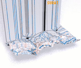 Places with similar names to Şūrat, Iran ::
Disclaimer :: Information on this page comes without warranty of any kind |
||
|
Where is Şūrat? Elevation and coordinates ::
Latitude (lat): 36°23'0"N Longitude (lon): 52°39'0"E
Elevation (approx.): 73m (map arrows pan, magnifying glasses zoom) |
||
|
Visiting Şūrat? Hotel/Accommodation ::
Book a hotel in Şūrat Travel Guide ::
Buy a travel guide for Iran rental cars ::
car rental offers GPS waypoint ::
download a GPX waypoint (PoI) of Şūrat for your GPS receiver
|
||