|
search place name
|
||
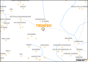
Tāgheskī (Khorāsān, Iran)Tāgheskī is a town in the Khorāsān region of Iran. An overview map of the region around Tāgheskī is displayed below.
regional and 3d topo map of Tāgheskī, Iran ::
Tāgheskī airports ::
The nearest airport is XBJ - Birjand, located 47.8 km north west of Tāgheskī.
Nearby towns ::
‘Alīābād (3.3km north) //
Chāh Ākhvor (4.3km north) //
Kalāteh-ye Mallātī (4.3km south west) //
Dūghābād (5.0km south west) //
Kadkhodā (7.0km south) //
Ḩājjīābād (7.0km south) //
Kalāteh-ye Kermānī (6.6km south west) //
Kafūzak (6.6km south west) //
Pokht (8.7km south west) //
Shūrābak (9.3km south) //
Chashmeh-ye Gūra Kūh (9.5km south east) //
Sang-e Bālīdeh (10.1km south east) //
Kalāteh-ye Āqā Moḩammad (10.1km south east) //
Zereshkī (10.1km south east) //
Kalāteh-ye Band-e ‘Olyā (11.0km south east) //
[all distances 'as the bird flies' and approximate] 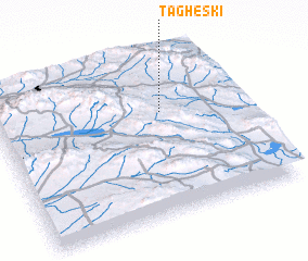 Places with similar names to Tāgheskī, Iran ::
Disclaimer :: Information on this page comes without warranty of any kind |
||
|
Where is Tāgheskī? Elevation and coordinates ::
Latitude (lat): 32°38'46"N Longitude (lon): 59°40'50"E
Elevation (approx.): 1883m (map arrows pan, magnifying glasses zoom) |
||
|
Visiting Tāgheskī? Hotel/Accommodation ::
Book a hotel in Tāgheskī Travel Guide ::
Buy a travel guide for Iran rental cars ::
car rental offers GPS waypoint ::
download a GPX waypoint (PoI) of Tāgheskī for your GPS receiver
|
||