|
search place name
|
||
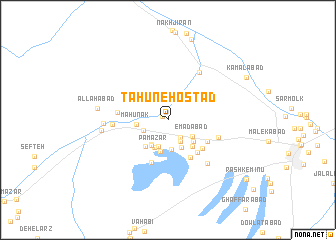
Ţāhūneh Ostād (Kermān, Iran)Ţāhūneh Ostād is a town in the Kermān region of Iran. An overview map of the region around Ţāhūneh Ostād is displayed below.
regional and 3d topo map of Ţāhūneh Ostād, Iran ::
Ţāhūneh Ostād airports ::
The nearest airport is KER - Kerman, located 60.9 km north east of Ţāhūneh Ostād.
Nearby towns ::
Dehkadeh (0.6km north west) //
Goranj (2.3km south east) //
Ḩoseynābād (2.7km south east) //
Roknābād (2.6km south west) //
Rashīdābād (3.1km south) //
‘Emādābād (2.9km south east) //
Bābā Owleyā' (3.2km south west) //
Owsfūk (3.4km south) //
Bīdū'īyeh (3.3km south east) //
Pā Mazār (3.3km south west) //
Pāmazār (3.3km south west) //
Māhūnak (3.1km west) //
Garrāhī (3.6km south) //
Tavakkolābād (3.4km south east) //
Deh-e Bahrām (3.6km south west) //
Garū'īyeh (3.8km south east) //
Mo'menābād (4.7km south east) //
Kahnūj (4.6km south east) //
Qāsemābād (4.4km south east) //
Kabīrī (4.6km south east) //
Kebārān (5.0km south) //
Ḩoseynābād (4.9km west) //
Fīrūzābād (5.2km east) //
Gazū'īyeh (5.4km west) //
Bāghestān-e Hajīn (6.1km north east) //
Moḩammadābād (6.2km south east) //
Maḩmūdābād (6.2km west) //
Tājābād (6.6km west) //
Allāhābād (7.0km west) //
[all distances 'as the bird flies' and approximate] 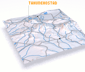 Places with similar names to Ţāhūneh Ostād, Iran :: Disclaimer :: Information on this page comes without warranty of any kind |
||
|
Where is Ţāhūneh Ostād? Elevation and coordinates ::
Latitude (lat): 29°57'32"N Longitude (lon): 56°26'1"E
Elevation (approx.): 2099m (map arrows pan, magnifying glasses zoom) |
||
|
Visiting Ţāhūneh Ostād? Hotel/Accommodation ::
Book a hotel in Ţāhūneh Ostād Travel Guide ::
Buy a travel guide for Iran rental cars ::
car rental offers GPS waypoint ::
download a GPX waypoint (PoI) of Ţāhūneh Ostād for your GPS receiver
|
||