|
search place name
|
||
Takht-e Fūlād (Eşfahān, Iran)Takht-e Fūlād is a town in the Eşfahān region of Iran. An overview map of the region around Takht-e Fūlād is displayed below.
regional and 3d topo map of Takht-e Fūlād, Iran ::
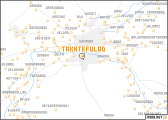
Nearby towns ::
Mārnān (2.2km north west) //
Eşfahān (3.4km north) //
Hemmatabād-e Golīparcheh (3.0km east) //
Şaḩrā Rowghan (3.2km west) //
Saḩreh (3.6km east) //
Dehchī (4.2km north west) //
Faraḩābād (3.9km west) //
Maḩalleh-ye Konjetaleskūn (4.4km north east) //
Darb-e Bāgh-e Shāh (5.3km north west) //
Jolfā (4.7km west) //
Shahrestān (4.9km east) //
Zahrān (5.1km north west) //
Maḩalleh-ye Darvāzeh Tehrān (5.7km north) //
Maḩalleh-ye Kāshefī (5.4km north east) //
Naşrābād (5.1km north west) //
Pārān (5.4km north west) //
Maḩalleh-ye Pā'īn-e Darvāzeh (5.9km north east) //
Shamsābād (6.6km north) //
Dastjerd (5.7km west) //
Gūrtān (5.8km west) //
Lādān (6.0km north west) //
Nezdūn (6.7km north) //
Veldān (6.5km north west) //
Bolūk-e Jey (7.0km north east) //
Maḩall-e Emāmzādeh Esḩāg (6.6km north east) //
Sūmāreh (6.2km east) //
Būzān (6.4km north east) //
Kerdābād (6.4km east) //
Esfahr Dezh (6.4km east) //
[all distances 'as the bird flies' and approximate] 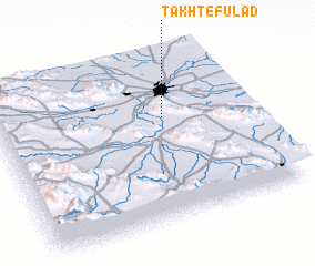 Places with similar names to Takht-e Fūlād, Iran :: Disclaimer :: Information on this page comes without warranty of any kind |
||
|
Where is Takht-e Fūlād? Elevation and coordinates ::
Latitude (lat): 32°37'47"N Longitude (lon): 51°40'1"E
Elevation (approx.): 1580m (map arrows pan, magnifying glasses zoom) |
||
|
Visiting Takht-e Fūlād? Hotel/Accommodation ::
Book a hotel in Takht-e Fūlād Travel Guide ::
Buy a travel guide for Iran rental cars ::
car rental offers GPS waypoint ::
download a GPX waypoint (PoI) of Takht-e Fūlād for your GPS receiver
|
||