|
search place name
|
||
Tak Shīrū (Khorāsān, Iran)Tak Shīrū is a town in the Khorāsān region of Iran. An overview map of the region around Tak Shīrū is displayed below.
regional and 3d topo map of Tak Shīrū, Iran ::

Nearby towns ::
Ma‘dan-e Qal‘eh (2.3km south east) //
Ozbagū-ye Jadīd (4.0km east) //
Ozbakūh (5.3km south west) //
Ma‘dan-e ‘Alīmorād (5.4km east) //
Qar Sorkh (8.3km south) //
Āsīāb (7.8km north west) //
Gazū (9.3km south east) //
[all distances 'as the bird flies' and approximate] 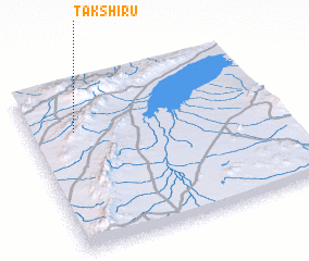 Places with similar names to Tak Shīrū, Iran ::
// Takashur (RU)
// Takchura (RU)
// Tukhchar (RU)
// Diouka Tiaro (SN)
// Tucuchire (VE)
// Tŏkchae-ri (KP)
// Tŏkchae-ri (KP)
// Tŏkchi-ri (KP)
// Tŏkchi-ri (KR)
// Tokchi-ri (KR)
Disclaimer :: Information on this page comes without warranty of any kind |
||
|
Where is Tak Shīrū? Elevation and coordinates ::
Latitude (lat): 34°43'0"N Longitude (lon): 57°11'0"E
Elevation (approx.): 1058m (map arrows pan, magnifying glasses zoom) |
||
|
Visiting Tak Shīrū? Hotel/Accommodation ::
Book a hotel in Tak Shīrū Travel Guide ::
Buy a travel guide for Iran rental cars ::
car rental offers GPS waypoint ::
download a GPX waypoint (PoI) of Tak Shīrū for your GPS receiver
|
||