|
search place name
|
||
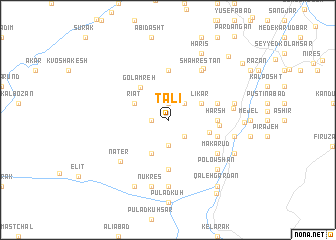
Talī (Iran)Talī is a town in Iran. An overview map of the region around Talī is displayed below.
regional and 3d topo map of Talī, Iran ::
Talī airports ::
The nearest airport is RZR - Ramsar, located 74.7 km north west of Talī.
Other airports nearby include THR - Teheran Mehrabad Intl (77.7 km south), RAS - Rasht (176.5 km north west), Nearby towns ::
Līkar Kolā (1.9km north) //
Kūlām Talī (1.5km west) //
Halī Hasht-e Sām (2.4km south east) //
Kones Darreh (2.4km south east) //
Kūlām Langar (2.4km north east) //
Feshkūr (2.8km south) //
Bījdeh-ye Now (4.0km south) //
Līkar (3.5km north east) //
Rīāt (3.5km north west) //
Golāmreh (4.4km north west) //
Makār (4.0km east) //
Emāmzādeh Faẕl-e Fāẕel (5.6km south) //
Harsh (4.5km east) //
Balīl Kūh (5.6km north) //
Kūtīr (4.7km east) //
Meres (4.8km east) //
Halī Hasht (4.8km north east) //
Makā Rūd (5.8km south east) //
Shahrestān (6.3km north east) //
Barār (6.6km north east) //
Nāter (6.3km south west) //
Ţowvīr (6.0km east) //
Mecher (7.4km south) //
Daznā Kotī (7.4km south) //
Mīchar (7.4km south) //
Nūkres (7.6km south) //
Seyyed Khāneh Sar (6.2km east) //
Dehnār (6.2km east) //
Chāl Zamīn (6.2km east) //
[all distances 'as the bird flies' and approximate] 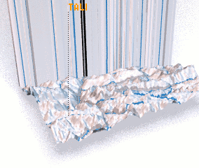 Places with similar names to Talī, Iran ::
Disclaimer :: Information on this page comes without warranty of any kind |
||
|
Where is Talī? Elevation and coordinates ::
Latitude (lat): 36°23'0"N Longitude (lon): 51°12'0"E
Elevation (approx.): 2458m (map arrows pan, magnifying glasses zoom) |
||
|
Visiting Talī? Hotel/Accommodation ::
Book a hotel in Talī Travel Guide ::
Buy a travel guide for Iran rental cars ::
car rental offers GPS waypoint ::
download a GPX waypoint (PoI) of Talī for your GPS receiver
|
||