|
search place name
|
||
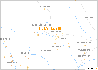
Tall Yāljerī (Fārs, Iran)Tall Yāljerī is a town in the Fārs region of Iran. An overview map of the region around Tall Yāljerī is displayed below.
regional and 3d topo map of Tall Yāljerī, Iran ::
Tall Yāljerī airports ::
The nearest airport is SYZ - Shiraz Shahid Dastghaib Intl, located 145.7 km south east of Tall Yāljerī.
Other airports nearby include BUZ - Bushehr (223.7 km south west), Nearby towns ::
Mūr Pahn (1.0km south) //
Qal‘eh-ye Ra'īsān (2.4km south east) //
Tall Kabīr (2.5km east) //
Sarfī (2.8km south east) //
Sharafī (2.9km south east) //
Būgarī (3.1km south east) //
Chargaz (3.1km east) //
Kūh-e Chehel Shahīdān (3.4km north west) //
Dez Gerd (3.6km north east) //
Gar-e Khākī (3.8km south east) //
Dez Kord (3.6km west) //
Eshkaft-e Barbanbeh (4.1km north east) //
Charkas (4.6km east) //
Qaţār Āqāj (4.9km west) //
Reʼīsān (5.4km south east) //
Bāsīrī Hādī (6.2km south east) //
Gowd-e Del Bālā (7.1km south) //
Bāserī Āqājān (7.2km south east) //
Bāsīrī (7.9km south east) //
[all distances 'as the bird flies' and approximate] 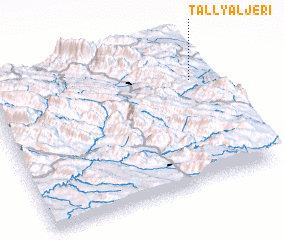 Places with similar names to Tall Yāljerī, Iran :: Disclaimer :: Information on this page comes without warranty of any kind |
||
|
Where is Tall Yāljerī? Elevation and coordinates ::
Latitude (lat): 30°43'19"N Longitude (lon): 51°55'52"E
Elevation (approx.): 2123m (map arrows pan, magnifying glasses zoom) |
||
|
Visiting Tall Yāljerī? Hotel/Accommodation ::
Book a hotel in Tall Yāljerī Travel Guide ::
Buy a travel guide for Iran rental cars ::
car rental offers GPS waypoint ::
download a GPX waypoint (PoI) of Tall Yāljerī for your GPS receiver
|
||