|
search place name
|
||
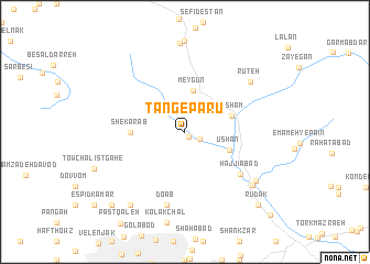
Tang-e Pārū (Tehrān, Iran)Tang-e Pārū is a town in the Tehrān region of Iran. An overview map of the region around Tang-e Pārū is displayed below.
regional and 3d topo map of Tang-e Pārū, Iran ::
Tang-e Pārū airports ::
The nearest airport is THR - Teheran Mehrabad Intl, located 29.5 km south west of Tang-e Pārū.
Other airports nearby include RZR - Ramsar (131.7 km north west), RAS - Rasht (229.4 km north west), Nearby towns ::
Īgel (0.6km south east) //
Bāgh Gol (1.5km south east) //
Āhār (3.1km north west) //
Meygūn (4.2km north) //
Ūshān (4.1km south east) //
Fasham (4.2km east) //
Shekar Āb (4.5km west) //
Ḩājjīābād (6.3km south east) //
Do Āb (7.6km south) //
Rūteh (7.4km north east) //
Kalūgān (7.8km south east) //
Kolūgān (7.7km south east) //
Shīr Palā (8.7km south west) //
Osūn (9.5km south west) //
Rūdak (9.6km south east) //
Amīnābād (11.0km south east) //
[all distances 'as the bird flies' and approximate] 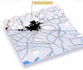 Places with similar names to Tang-e Pārū, Iran ::
// Dānājpur (BD)
// Dāngipāra (BD)
// Dinājpur (BD)
// Tangipur (BD)
// Tungipāra (BD)
// Tang-e Parī (IR)
// Donja Pora (CS)
// Tingipira (SL)
Disclaimer :: Information on this page comes without warranty of any kind |
||
|
Where is Tang-e Pārū? Elevation and coordinates ::
Latitude (lat): 35°55'0"N Longitude (lon): 51°29'0"E
Elevation (approx.): 2032m (map arrows pan, magnifying glasses zoom) |
||
|
Visiting Tang-e Pārū? Hotel/Accommodation ::
Book a hotel in Tang-e Pārū Travel Guide ::
Buy a travel guide for Iran rental cars ::
car rental offers GPS waypoint ::
download a GPX waypoint (PoI) of Tang-e Pārū for your GPS receiver
|
||