|
search place name
|
||
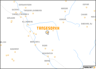
Tang-e Sorkh (Fārs, Iran)Tang-e Sorkh is a town in the Fārs region of Iran. An overview map of the region around Tang-e Sorkh is displayed below.
regional and 3d topo map of Tang-e Sorkh, Iran ::
Tang-e Sorkh airports ::
The nearest airport is SYZ - Shiraz Shahid Dastghaib Intl, located 122.4 km south east of Tang-e Sorkh.
Other airports nearby include BUZ - Bushehr (190.0 km south west), Nearby towns ::
Kūh-e Kamar Kal (2.3km north east) //
Tang-e Moshkān (4.1km west) //
Rīgān (5.5km south) //
Cheshmeh Chenār (4.9km west) //
Dokhtar Kalūn (6.3km south) //
Bard Zard (5.9km south west) //
Tang-e Khoshk (6.1km west) //
Darreh Māhīnī (6.6km west) //
Komehr (7.0km north east) //
Deh Kohneh (8.5km south) //
Allāhābād (7.8km north west) //
Bonrū (9.0km south) //
Tang-e Malek ‘Abbāsī (9.6km north west) //
Deh Tūlī (10.3km north west) //
[all distances 'as the bird flies' and approximate] 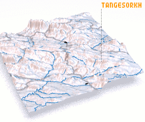 Places with similar names to Tang-e Sorkh, Iran ::
// Donja Sirča (CS)
Disclaimer :: Information on this page comes without warranty of any kind |
||
|
Where is Tang-e Sorkh? Elevation and coordinates ::
Latitude (lat): 30°25'22"N Longitude (lon): 51°49'45"E
Elevation (approx.): 2794m (map arrows pan, magnifying glasses zoom) |
||
|
Visiting Tang-e Sorkh? Hotel/Accommodation ::
Book a hotel in Tang-e Sorkh Travel Guide ::
Buy a travel guide for Iran rental cars ::
car rental offers GPS waypoint ::
download a GPX waypoint (PoI) of Tang-e Sorkh for your GPS receiver
|
||