|
search place name
|
||
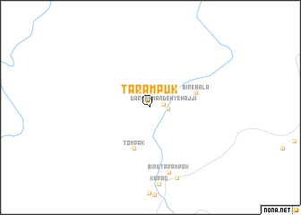
Tarāmpūk (Sīstān va Balūchestān, Iran)Tarāmpūk is a town in the Sīstān va Balūchestān region of Iran. An overview map of the region around Tarāmpūk is displayed below.
regional and 3d topo map of Tarāmpūk, Iran ::
Tarāmpūk airports ::
The nearest airport is ZBR - Chah Bahar, located 63.2 km east of Tarāmpūk.
Other airports nearby include MCT - Muscat Seeb Intl (264.9 km south west), Nearby towns ::
Darreh Mandeh-ye Ḩājjī (1.6km east) //
Bīr-e Bālā (2.0km east) //
Tompak (5.5km south) //
Bīr-e Bālā (5.5km east) //
Bīr-e Tarampok (8.4km south) //
Karag (9.4km south) //
[all distances 'as the bird flies' and approximate] 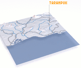 Places with similar names to Tarāmpūk, Iran ::
// Tarumpakkae (ID)
// Tarāmpūk (IR)
Disclaimer :: Information on this page comes without warranty of any kind |
||
|
Where is Tarāmpūk? Elevation and coordinates ::
Latitude (lat): 25°33'48"N Longitude (lon): 59°46'4"E
Elevation (approx.): 32m (map arrows pan, magnifying glasses zoom) |
||
|
Visiting Tarāmpūk? Hotel/Accommodation ::
Book a hotel in Tarāmpūk Travel Guide ::
Buy a travel guide for Iran rental cars ::
car rental offers GPS waypoint ::
download a GPX waypoint (PoI) of Tarāmpūk for your GPS receiver
|
||