|
search place name
|
||
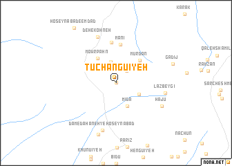
Tūchangū'īyeh (Kermān, Iran)Tūchangū'īyeh is a town in the Kermān region of Iran. An overview map of the region around Tūchangū'īyeh is displayed below.
regional and 3d topo map of Tūchangū'īyeh, Iran ::
Tūchangū'īyeh airports ::
The nearest airport is KER - Kerman, located 122.2 km east of Tūchangū'īyeh.
Other airports nearby include AZD - Yazd Shahid Sadooghi (256.0 km north west), Nearby towns ::
Gaz-e Boland (0.0km north) //
Now Changū'īyeh (2.5km north east) //
Razū'īyeh (3.5km north) //
Mīdā (4.0km south east) //
Gowd-e Gūnārk (3.7km south east) //
Mowr Pahn (4.8km north west) //
Deh Sa‘dī (4.7km north east) //
Mūrdān (5.0km north east) //
Mānī (6.3km north) //
Khomrūdū'īyeh (6.6km north) //
Dam-e Dahaneh-ye Ḩoseynābād (7.9km south) //
Deh-e Kohneh (7.9km north) //
Lāzbeygī (7.1km east) //
Ḩājū (7.4km south east) //
Tūgezān (8.6km south) //
Ḩoseynābād-e Emdād (10.6km north west) //
[all distances 'as the bird flies' and approximate] 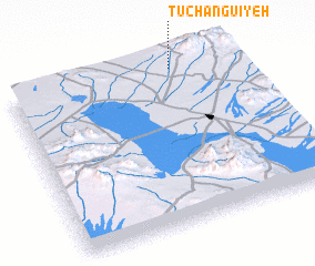 Places with similar names to Tūchangū'īyeh, Iran :: Disclaimer :: Information on this page comes without warranty of any kind |
||
|
Where is Tūchangū'īyeh? Elevation and coordinates ::
Latitude (lat): 29°58'0"N Longitude (lon): 55°44'0"E
Elevation (approx.): 2516m (map arrows pan, magnifying glasses zoom) |
||
|
Visiting Tūchangū'īyeh? Hotel/Accommodation ::
Book a hotel in Tūchangū'īyeh Travel Guide ::
Buy a travel guide for Iran rental cars ::
car rental offers GPS waypoint ::
download a GPX waypoint (PoI) of Tūchangū'īyeh for your GPS receiver
|
||