|
search place name
|
||
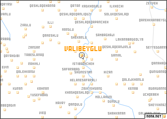
Valī Beyglū (Iran)Valī Beyglū is a town in Iran. An overview map of the region around Valī Beyglū is displayed below.
regional and 3d topo map of Valī Beyglū, Iran ::
Valī Beyglū airports ::
The nearest airport is TBZ - Tabriz Intl, located 148.6 km south west of Valī Beyglū.
Nearby towns ::
Shūrestān (0.3km south) //
Ḩoseyn Beyglū (0.8km north east) //
Nowlū (1.4km east) //
Īstī Bāghcheh (1.9km south) //
Chāreq Dāsh (2.3km north west) //
Shūrestān (3.7km south) //
Bīryān (4.0km north) //
Şafarābād (3.8km south west) //
Shekarlū (4.2km north) //
Helān-e Şafar‘alī (5.6km south) //
‘Emāratlū (5.7km south) //
Qarah Qayah-ye Shakarlū (5.7km north) //
Qareh Tīkānlū (5.7km south) //
Aznāb-e Khāleşeh (5.7km north west) //
Bāldāghī (5.7km south east) //
Hīzān (5.7km south east) //
Sāmbaghājī (6.0km north east) //
Mardlū (6.5km north west) //
Dānīāl (5.8km east) //
Qeshlāq-e Anjīrlū (6.0km east) //
Qeshlāq-e Qapāncheh (7.6km north) //
Zāvīyeh Sang (7.6km south) //
Anjīrlū (8.0km south) //
Khāsh Qeshlāqī (8.5km south) //
Qameshlū (7.3km north west) //
Chenār (8.0km south east) //
Īllī (9.4km north west) //
[all distances 'as the bird flies' and approximate] 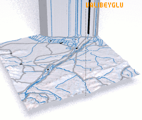 Places with similar names to Valī Beyglū, Iran ::
// Valea Bocului (RO)
Disclaimer :: Information on this page comes without warranty of any kind |
||
|
Where is Valī Beyglū? Elevation and coordinates ::
Latitude (lat): 39°1'0"N Longitude (lon): 47°31'0"E
Elevation (approx.): 511m (map arrows pan, magnifying glasses zoom) |
||
|
Visiting Valī Beyglū? Hotel/Accommodation ::
Book a hotel in Valī Beyglū Travel Guide ::
Buy a travel guide for Iran rental cars ::
car rental offers GPS waypoint ::
download a GPX waypoint (PoI) of Valī Beyglū for your GPS receiver
|
||