|
search place name
|
||
Vārmī (Iran)Vārmī is a town in Iran. An overview map of the region around Vārmī is displayed below.
regional and 3d topo map of Vārmī, Iran ::
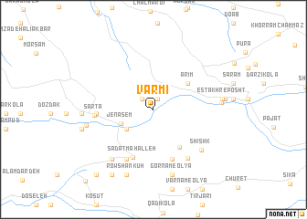
Nearby towns ::
Saneh Kūh (1.4km north) //
Senūr (1.7km north west) //
Khāndī Kolā (3.5km south west) //
Jenāsem (3.6km south west) //
Arīm (4.6km north east) //
Maz Deh (5.3km south east) //
Sādāt Maḩalleh (6.2km south) //
Kār Nām (6.4km south) //
Ākhvord (6.6km south west) //
Bāzār Kheyl (5.6km west) //
Sartā (5.8km west) //
Kolā Kardeh (6.9km south east) //
Shīshk (6.9km south east) //
Kondes Bon (7.3km south west) //
Gornām-e Soflá (8.2km south) //
Venājem (8.2km south) //
Gornām-e ‘Olyā (8.2km south) //
Ḩoseynābād (6.7km east) //
Şalāt (6.9km west) //
Estakhr-e Posht (6.9km east) //
Rowshan Kūh (8.4km south) //
Pīsar (7.1km west) //
Mūsá Kolā (7.1km west) //
Daram (7.2km east) //
Şaltā (7.5km west) //
Kand Saban (8.9km south west) //
Kojā Rūstā (9.7km south west) //
Kajarestāq (9.7km south west) //
Ḩājjī Kolā (11.0km south west) //
[all distances 'as the bird flies' and approximate] 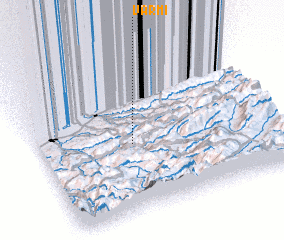 Places with similar names to Vārmī, Iran ::
Disclaimer :: Information on this page comes without warranty of any kind |
||
|
Where is Vārmī? Elevation and coordinates ::
Latitude (lat): 36°27'17"N Longitude (lon): 53°23'45"E
Elevation (approx.): 482m (map arrows pan, magnifying glasses zoom) |
||
|
Visiting Vārmī? Hotel/Accommodation ::
Book a hotel in Vārmī Travel Guide ::
Buy a travel guide for Iran rental cars ::
car rental offers GPS waypoint ::
download a GPX waypoint (PoI) of Vārmī for your GPS receiver
|
||