|
search place name
|
||
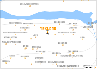
Yek Lang (Tehrān, Iran)Yek Lang is a town in the Tehrān region of Iran. An overview map of the region around Yek Lang is displayed below.
regional and 3d topo map of Yek Lang, Iran ::
Yek Lang airports ::
The nearest airport is THR - Teheran Mehrabad Intl, located 66.3 km east of Yek Lang.
Other airports nearby include RZR - Ramsar (134.5 km north), RAS - Rasht (200.4 km north west), Nearby towns ::
Qezel Cheshmeh (2.1km east) //
Jārū (4.1km west) //
Mīkh Bolāgh (4.7km east) //
Qelīchābād (5.4km north east) //
Mehdīābād (5.7km north west) //
Būja‘far (5.7km west) //
Gomorkān (6.1km south east) //
Qameshlū (6.7km south west) //
Ḩājjīābād (7.7km south) //
Moḩammadābād (7.5km south west) //
Shahrābād (7.2km north west) //
Valīābād (8.4km south) //
Āgh Qū'ī (8.8km south west) //
Chāqū Bālā (10.4km south east) //
[all distances 'as the bird flies' and approximate] 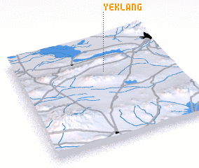 Places with similar names to Yek Lang, Iran ::
// Yegol'nik (RU)
// Yegol'niki (RU)
// Yakolonga (CD)
// Yek Lang (IR)
// Yakāwlang (AF)
// Yaqueling (CN)
// Yü-kuei-ling (TW)
Disclaimer :: Information on this page comes without warranty of any kind |
||
|
Where is Yek Lang? Elevation and coordinates ::
Latitude (lat): 35°42'1"N Longitude (lon): 50°34'52"E
Elevation (approx.): 1333m (map arrows pan, magnifying glasses zoom) |
||
|
Visiting Yek Lang? Hotel/Accommodation ::
Book a hotel in Yek Lang Travel Guide ::
Buy a travel guide for Iran rental cars ::
car rental offers GPS waypoint ::
download a GPX waypoint (PoI) of Yek Lang for your GPS receiver
|
||