|
search place name
|
||
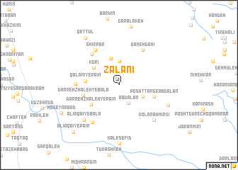
Zalānī (Ostān-e Kermānshāh, Iran)Zalānī is a town in the Ostān-e Kermānshāh region of Iran. An overview map of the region around Zalānī is displayed below.
regional and 3d topo map of Zalānī, Iran ::
Zalānī airports ::
The nearest airport is SDG - Sanandaj, located 113.9 km north east of Zalānī.
Other airports nearby include KSH - Bakhtaran Shahid Ashrafi Esfahani (130.2 km south east), Nearby towns ::
Āb Dālān (3.1km south east) //
Bāneh Zarīn (3.7km north) //
Kāk Mīrkī (3.6km south east) //
Aspar (3.6km south east) //
Khūrnū Gabān (4.4km north) //
Kūrī (4.2km north west) //
Qalānī-ye Pā'īn (4.4km west) //
Darreh Zhāleh-ye Pā'īn (4.8km south west) //
Posht Tang-e Āb Dālān (4.9km east) //
Darreh Zhāleh-ye Bālā (4.9km west) //
Sūrmar (6.0km north west) //
Dameh Dāmī (6.3km north east) //
Shīrpar (6.3km north west) //
Qalānī-ye Bālā (5.7km west) //
Dār Zanganeh-ye Pā'īn (6.8km south west) //
Kolārah Mīrkī (7.2km south east) //
‘Alī Āqā'ī-ye Bālā (7.2km south west) //
Naqdeh-ye Pā'īn (7.1km south east) //
Qeyţūl (8.6km north west) //
‘Alī Āqā'ī-ye Pā'īn (9.5km south west) //
[all distances 'as the bird flies' and approximate] 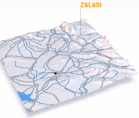 Places with similar names to Zalānī, Iran ::
Disclaimer :: Information on this page comes without warranty of any kind |
||
|
Where is Zalānī? Elevation and coordinates ::
Latitude (lat): 34°50'0"N Longitude (lon): 45°52'0"E
Elevation (approx.): 690m (map arrows pan, magnifying glasses zoom) |
||
|
Visiting Zalānī? Hotel/Accommodation ::
Book a hotel in Zalānī Travel Guide ::
Buy a travel guide for Iran rental cars ::
car rental offers GPS waypoint ::
download a GPX waypoint (PoI) of Zalānī for your GPS receiver
|
||