|
search place name
|
||
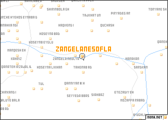
Zangelān-e Soflá (Ostān-e Āz̄arbāyjān-e Gharbī, Iran)Zangelān-e Soflá is a town in the Ostān-e Āz̄arbāyjān-e Gharbī region of Iran. An overview map of the region around Zangelān-e Soflá is displayed below.
regional and 3d topo map of Zangelān-e Soflá, Iran ::
Zangelān-e Soflá airports ::
The nearest airport is TBZ - Tabriz Intl, located 124.1 km south east of Zangelān-e Soflá.
Other airports nearby include VAN - Van (164.1 km west), Nearby towns ::
Ḩājjī Aḩmad Kandī (1.0km north) //
Pūfābād (1.8km north west) //
Ţāherābād (2.7km south) //
Yūsof Kandī (3.0km east) //
Zangelān-e ‘Olyā (3.1km west) //
Ḩājjīlar (4.1km north west) //
Bābelābād (5.3km north west) //
Qārnī Yārīkh (6.6km south) //
Qezelcheh Gol (6.7km north) //
Qezeljeh Gol (6.7km north) //
Ḩoseynābād-e Marākān (5.7km east) //
Kūr Bolāgh (7.1km south west) //
Ḩaqverdī (7.2km north west) //
Allāhverdī Kandī (5.9km west) //
Beyg Darvīsh (6.5km south west) //
Ḩoseyn‘alīkhān (6.5km south west) //
Qūchāsh (7.8km north east) //
Ḩoseynābād (7.5km north west) //
Sīah Bāz (9.2km south) //
[all distances 'as the bird flies' and approximate] 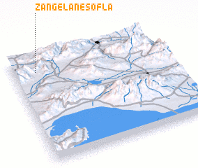 Places with similar names to Zangelān-e Soflá, Iran :: Disclaimer :: Information on this page comes without warranty of any kind |
||
|
Where is Zangelān-e Soflá? Elevation and coordinates ::
Latitude (lat): 38°51'28"N Longitude (lon): 45°9'4"E
Elevation (approx.): 1049m (map arrows pan, magnifying glasses zoom) |
||
|
Visiting Zangelān-e Soflá? Hotel/Accommodation ::
Book a hotel in Zangelān-e Soflá Travel Guide ::
Buy a travel guide for Iran rental cars ::
car rental offers GPS waypoint ::
download a GPX waypoint (PoI) of Zangelān-e Soflá for your GPS receiver
|
||