|
search place name
|
||
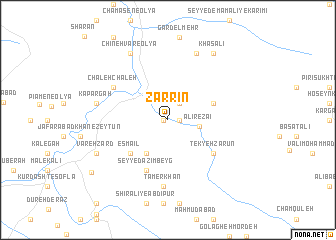
Zarrīn (Lorestān, Iran)Zarrīn is a town in the Lorestān region of Iran. An overview map of the region around Zarrīn is displayed below.
regional and 3d topo map of Zarrīn, Iran ::
Zarrīn airports ::
The nearest airport is KSH - Bakhtaran Shahid Ashrafi Esfahani, located 69.9 km north west of Zarrīn.
Other airports nearby include SDG - Sanandaj (167.5 km north), QMJ - Masjed Soleiman Shahid Asyaee (256.9 km south east), Nearby towns ::
Seyyed Aḩmad Beyg (0.4km west) //
Sheykh‘alī (1.1km east) //
Seyyed Şāleḩ (2.1km north east) //
‘Ālī Reẕāʼī (3.0km east) //
‘Az̧īmkhān (4.2km south west) //
Qāsem‘alī (4.2km south west) //
Ben Jūb-e Pīāmen (4.6km north east) //
Esmā‘īl (5.1km south west) //
Beyq Moḩammad (5.1km south west) //
Seyyed ‘Az̧īm Beyg (5.9km south) //
Tekyeh Ẕarūn (5.6km south east) //
Serenjeleh (5.6km south east) //
Chāleh Chāleh (6.3km north west) //
Tamerkhān (7.5km south) //
Bāgh-e Pa'īn (7.8km north) //
Kapargah (6.8km west) //
Raḩmatābād (6.8km west) //
Chīneh Vār-e ‘Olyā (8.2km north west) //
Varehzard (7.6km south west) //
Khāş‘alī (8.5km north east) //
Kūrdasht-e ‘Olyā (9.2km south west) //
[all distances 'as the bird flies' and approximate] 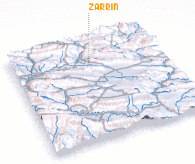 Places with similar names to Zarrīn, Iran ::
Disclaimer :: Information on this page comes without warranty of any kind |
||
|
Where is Zarrīn? Elevation and coordinates ::
Latitude (lat): 33°48'1"N Longitude (lon): 47°32'17"E
Elevation (approx.): 1305m (map arrows pan, magnifying glasses zoom) |
||
|
Visiting Zarrīn? Hotel/Accommodation ::
Book a hotel in Zarrīn Travel Guide ::
Buy a travel guide for Iran rental cars ::
car rental offers GPS waypoint ::
download a GPX waypoint (PoI) of Zarrīn for your GPS receiver
|
||