|
search place name
|
||
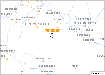
Zīnvand (Īlām, Iran)Zīnvand is a town in the Īlām region of Iran. An overview map of the region around Zīnvand is displayed below.
regional and 3d topo map of Zīnvand, Iran ::
Zīnvand airports ::
The nearest airport is KSH - Bakhtaran Shahid Ashrafi Esfahani, located 144.4 km north of Zīnvand.
Other airports nearby include QMJ - Masjed Soleiman Shahid Asyaee (207.8 km south east), AWZ - Ahwaz (228.2 km south east), Nearby towns ::
Seyyed Seyf ed Dīn (4.0km north east) //
Armū (5.5km north east) //
Zeydābād (5.8km north) //
Qal‘eh-ye Sheykh Mākhūn (6.0km north west) //
Sheykh Makān (6.0km north west) //
Cham Zhāb (7.4km north) //
Sheykh Mākhūn (7.9km north) //
Kal-e Sefīd (6.9km east) //
Seyyed Şāleḩ od Dīn (8.8km south) //
Shahīd Madanī (9.5km north west) //
Darreh Shahr (9.3km north west) //
[all distances 'as the bird flies' and approximate] 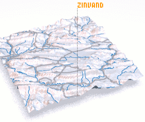 Places with similar names to Zīnvand, Iran ::
// Singhandi (BD)
// Sanāvand (IR)
// Zīnevand (IR)
// Senai Ghundai (PK)
// Senghenydd (GB)
// Sanfendi (CN)
// Sonfondu (SL)
Disclaimer :: Information on this page comes without warranty of any kind |
||
|
Where is Zīnvand? Elevation and coordinates ::
Latitude (lat): 33°4'0"N Longitude (lon): 47°27'0"E
Elevation (approx.): 1158m (map arrows pan, magnifying glasses zoom) |
||
|
Visiting Zīnvand? Hotel/Accommodation ::
Book a hotel in Zīnvand Travel Guide ::
Buy a travel guide for Iran rental cars ::
car rental offers GPS waypoint ::
download a GPX waypoint (PoI) of Zīnvand for your GPS receiver
|
||