|
search place name
|
||
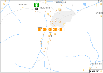
Ādam Khān Kili (Balochistān, Pakistan)Ādam Khān Kili is a town in the Balochistān region of Pakistan. An overview map of the region around Ādam Khān Kili is displayed below.
regional and 3d topo map of Ādam Khān Kili, Pakistan ::
Ādam Khān Kili airports ::
The nearest airport is UET - Quetta, located 12.3 km north of Ādam Khān Kili.
Other airports nearby include KDH - Kandahar (185.8 km north west), Nearby towns ::
Kambarāni (0.8km west) //
Gograi (1.5km south) //
Luwar Kārez (1.5km north east) //
Kech Beg (2.3km south west) //
Gulzar (2.8km west) //
Sardār (3.0km west) //
Sirki (3.4km north east) //
Brāhīmzai (4.2km north) //
Dildard Kārez (3.8km south west) //
Kirāni (4.0km north west) //
Shāhdīnzai (4.2km south west) //
Abdul Nabi (4.6km south west) //
Yakhāo (4.8km north) //
Deba (5.5km north) //
Shamozai (5.3km south west) //
Kot Malik (5.7km north) //
Quetta (5.9km north) //
Kamālu (6.0km south west) //
Kachāhri (6.0km north east) //
Nīchāri (6.0km north east) //
Habīb Kili (6.7km north) //
Hudda (7.6km north) //
Kili Sultān (8.3km north) //
[all distances 'as the bird flies' and approximate] 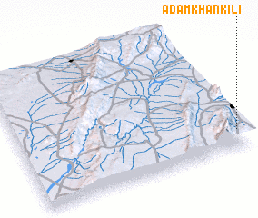 Places with similar names to Ādam Khān Kili, Pakistan ::
// Adam Khan Kili (PK)
Disclaimer :: Information on this page comes without warranty of any kind |
||
|
Where is Ādam Khān Kili? Elevation and coordinates ::
Latitude (lat): 30°8'55"N Longitude (lon): 66°59'11"E
Elevation (approx.): 1695m (map arrows pan, magnifying glasses zoom) |
||
|
Visiting Ādam Khān Kili? Hotel/Accommodation ::
Book a hotel in Ādam Khān Kili Travel Guide ::
Buy a travel guide for Pakistan rental cars ::
car rental offers GPS waypoint ::
download a GPX waypoint (PoI) of Ādam Khān Kili for your GPS receiver
|
||