|
search place name
|
||
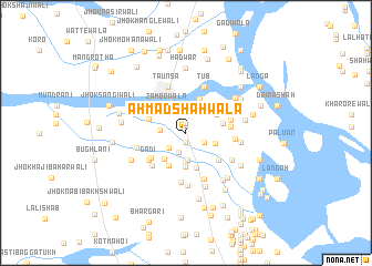
Ahmad Shāhwāla (Punjab, Pakistan)Ahmad Shāhwāla is a town in the Punjab region of Pakistan. An overview map of the region around Ahmad Shāhwāla is displayed below.
regional and 3d topo map of Ahmad Shāhwāla, Pakistan ::
Ahmad Shāhwāla airports ::
The nearest airport is MUX - Multan Intl, located 88.2 km south east of Ahmad Shāhwāla.
Other airports nearby include PZH - Zhob (138.6 km north west), Nearby towns ::
Faqīre Sherānīwāla (0.8km north) //
Bohar (0.9km south) //
Mahanda (0.9km north) //
Hīro Gharbi (1.8km south east) //
Jhangar (1.8km south east) //
Maihīrwāla (2.1km south) //
Gogrīwāla (2.1km south west) //
Khatrānwāla (2.3km west) //
Maulvi Hāmidwāla (2.8km south) //
Hasanwāla (2.9km south) //
Chachwāla (2.9km north west) //
Jhok Polwāli (2.9km north east) //
Sawarewāla (2.7km south east) //
Zambowāla (3.1km north west) //
Jhok Kīkarwāli (3.4km south) //
Mahmūdwāla (3.2km south west) //
Tungwānīwāla (3.2km north east) //
Hadānīwāla (3.6km south west) //
Jhok Gulzārwāli (3.6km north) //
Jhok Bujhewāli (3.7km south) //
Hīro Shargi (3.3km east) //
Barkhurdārwāla (3.5km north west) //
Jhok Manjothewāli (3.9km south east) //
Jatwāla (3.9km south west) //
Shāhwāla (3.9km east) //
Gādi (4.2km south west) //
Rānīwāla (4.0km east) //
Gādi Shaikh Raīs (4.4km south west) //
Jhok Lāl Kālewāli (5.0km south) //
[all distances 'as the bird flies' and approximate] 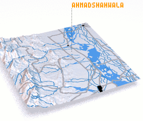 Places with similar names to Ahmad Shāhwāla, Pakistan :: Disclaimer :: Information on this page comes without warranty of any kind |
||
|
Where is Ahmad Shāhwāla? Elevation and coordinates ::
Latitude (lat): 30°39'30"N Longitude (lon): 70°40'0"E
Elevation (approx.): 165m (map arrows pan, magnifying glasses zoom) |
||
|
Visiting Ahmad Shāhwāla? Hotel/Accommodation ::
Book a hotel in Ahmad Shāhwāla Travel Guide ::
Buy a travel guide for Pakistan rental cars ::
car rental offers GPS waypoint ::
download a GPX waypoint (PoI) of Ahmad Shāhwāla for your GPS receiver
|
||