|
search place name
|
||
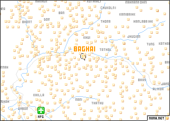
Baghai (Pakistan)Baghai is a town in Pakistan. An overview map of the region around Baghai is displayed below.
regional and 3d topo map of Baghai, Pakistan ::
Baghai airports ::
The nearest airport is MFG - Muzaffarabad, located 13.7 km south west of Baghai.
Other airports nearby include RAZ - Rawala Kot Rawalakot (68.0 km south), ISB - Islamabad Chaklala (102.1 km south west), SXR - Srinagar (119.6 km south east), SDT - Saidu Sharif (121.3 km west), Nearby towns ::
Allian (0.6km north) //
Khalābat (0.8km north) //
Bela (0.9km east) //
Kūla (0.9km east) //
Chote (1.1km south) //
Maira (1.4km north) //
Kachhūl (1.2km west) //
Buddilāt (1.5km north east) //
Gumla (1.6km south) //
Dangitti (1.7km south) //
Ban (1.6km south east) //
Shakka Nakka (1.8km north west) //
Nāgni (1.7km south west) //
Banhatar (1.7km east) //
Trer (2.1km south west) //
Khui (2.0km west) //
Karshan (2.4km north) //
Mingirān (2.2km north east) //
Bhart (2.3km south east) //
Lari (2.0km east) //
Gaidar (2.3km south west) //
Nakka Palāni (2.4km south east) //
Rājkot (2.3km east) //
Panjgirān Pāīn (2.4km east) //
Panjgirān Bāla (2.5km east) //
Gohāri (2.6km west) //
Palla (3.1km north) //
Neropai (3.1km south) //
Chhūn (2.9km north west) //
[all distances 'as the bird flies' and approximate] 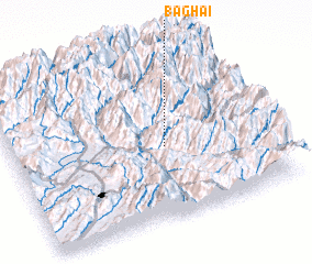 Places with similar names to Baghai, Pakistan ::
Disclaimer :: Information on this page comes without warranty of any kind |
||
|
Where is Baghai? Elevation and coordinates ::
Latitude (lat): 34°26'20"N Longitude (lon): 73°35'45"E
Elevation (approx.): 1376m (map arrows pan, magnifying glasses zoom) |
||
|
Visiting Baghai? Hotel/Accommodation ::
Book a hotel in Baghai Travel Guide ::
Buy a travel guide for Pakistan rental cars ::
car rental offers GPS waypoint ::
download a GPX waypoint (PoI) of Baghai for your GPS receiver
|
||