|
search place name
|
||
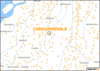
Chāh Kumhārwāla (Punjab, Pakistan)Chāh Kumhārwāla is a town in the Punjab region of Pakistan. An overview map of the region around Chāh Kumhārwāla is displayed below.
regional and 3d topo map of Chāh Kumhārwāla, Pakistan ::
Chāh Kumhārwāla airports ::
The nearest airport is PZH - Zhob, located 155.1 km west of Chāh Kumhārwāla.
Other airports nearby include MUX - Multan Intl (158.7 km south), LYP - Faisalabad Intl (184.7 km east), Nearby towns ::
Chāh Pandherwāla (0.8km south east) //
Basti Ālamābād (0.8km north west) //
Basti Kutāne (1.4km north west) //
Jhakkar (1.5km west) //
Samilwāla (1.5km east) //
Ghāzi Shāh (2.2km south) //
Daryāi (2.5km north east) //
Bhagtānwāla (2.7km south) //
Razāi Shāh (2.8km south west) //
Chāh Sultānwāla (2.7km west) //
Chāh Hanjrewāla (2.7km west) //
Chāh Jabīlānwāla (3.3km south) //
Jassewāla (3.0km north west) //
Bhakkar (3.4km north) //
Malānewāli (3.3km west) //
Bagri (3.3km west) //
Pīr Asāhab (4.0km south west) //
Chugga (3.6km west) //
Murāni (3.7km west) //
Gul Shāh (4.4km south) //
Hājjīwāla (4.5km south) //
Chāh Punnūwāla (3.8km east) //
Dhundi (4.0km north west) //
Battewāla (4.1km south west) //
Chāh Lellūwāla (4.6km north) //
Umarwāla (4.9km south) //
Chāh Nabīwāla (4.6km south east) //
Drokri (4.8km south west) //
Gadolah (5.3km north) //
[all distances 'as the bird flies' and approximate]  Places with similar names to Chāh Kumhārwāla, Pakistan :: Disclaimer :: Information on this page comes without warranty of any kind |
||
|
Where is Chāh Kumhārwāla? Elevation and coordinates ::
Latitude (lat): 31°36'10"N Longitude (lon): 71°4'15"E
Elevation (approx.): 169m (map arrows pan, magnifying glasses zoom) |
||
|
Visiting Chāh Kumhārwāla? Hotel/Accommodation ::
Book a hotel in Chāh Kumhārwāla Travel Guide ::
Buy a travel guide for Pakistan rental cars ::
car rental offers GPS waypoint ::
download a GPX waypoint (PoI) of Chāh Kumhārwāla for your GPS receiver
|
||