|
search place name
|
||
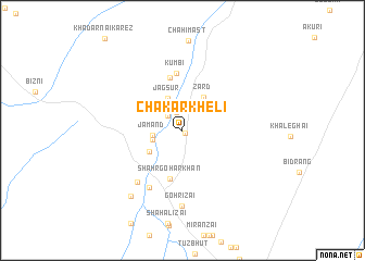
Chākarkheli (Balochistān, Pakistan)Chākarkheli is a town in the Balochistān region of Pakistan. An overview map of the region around Chākarkheli is displayed below.
regional and 3d topo map of Chākarkheli, Pakistan ::
Chākarkheli airports ::
The nearest airport is UET - Quetta, located 90.5 km north east of Chākarkheli.
Nearby towns ::
Ghulām Jān (0.4km south east) //
Akhtarwāl (1.9km north) //
Khūni (2.0km north west) //
Pateānzai (2.7km north east) //
Jamand (2.7km west) //
Abdol Aziz (2.8km west) //
Jagsūr (3.5km north west) //
Zard (3.9km north east) //
Salārzai (3.7km south west) //
Sodāwāl (3.7km south west) //
Shahr Gohar Khān (5.1km south) //
Anāwāl (5.5km north) //
Kumbi (5.9km north) //
Hasanzai (6.6km south west) //
Ādamzai (6.6km south west) //
Gohrīzai (7.7km south) //
Gohrīzai (8.2km south west) //
[all distances 'as the bird flies' and approximate] 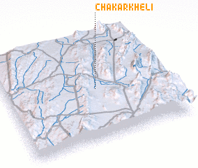 Places with similar names to Chākarkheli, Pakistan ::
// Shakkar Khel (PK)
Disclaimer :: Information on this page comes without warranty of any kind |
||
|
Where is Chākarkheli? Elevation and coordinates ::
Latitude (lat): 29°30'10"N Longitude (lon): 66°33'50"E
Elevation (approx.): 1719m (map arrows pan, magnifying glasses zoom) |
||
|
Visiting Chākarkheli? Hotel/Accommodation ::
Book a hotel in Chākarkheli Travel Guide ::
Buy a travel guide for Pakistan rental cars ::
car rental offers GPS waypoint ::
download a GPX waypoint (PoI) of Chākarkheli for your GPS receiver
|
||