|
search place name
|
||
Dahimal (Pakistan)Dahimal is a town in Pakistan. An overview map of the region around Dahimal is displayed below.
regional and 3d topo map of Dahimal, Pakistan ::

Dahimal airports ::
The nearest airport is GIL - Gilgit, located 102.5 km east of Dahimal.
Other airports nearby include SDT - Saidu Sharif (174.0 km south west), MFG - Muzaffarabad (207.8 km south), Nearby towns ::
[all distances 'as the bird flies' and approximate] 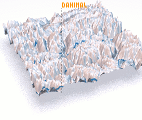 Places with similar names to Dahimal, Pakistan ::
// Deh-e Mollā (IR)
// Deh-e Mollā (IR)
// Deh-e Mowlā (IR)
// Dhāmālia (BD)
// Dhāmālia (BD)
// Dhāmila (BD)
// Dhāmlai (BD)
// Dhamaul (IN)
// Tihamulla (LK)
// Dhamāli (PK)
Disclaimer :: Information on this page comes without warranty of any kind |
||
|
Where is Dahimal? Elevation and coordinates ::
Latitude (lat): 36°12'0"N Longitude (lon): 73°15'0"E
Elevation (approx.): 2339m (map arrows pan, magnifying glasses zoom) |
||
|
Visiting Dahimal? Hotel/Accommodation ::
Book a hotel in Dahimal Travel Guide ::
Buy a travel guide for Pakistan rental cars ::
car rental offers GPS waypoint ::
download a GPX waypoint (PoI) of Dahimal for your GPS receiver
|
||