|
search place name
|
||
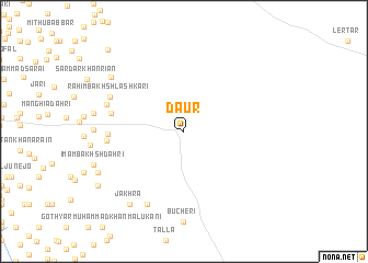
Daur (Sind, Pakistan)Daur is a town in the Sind region of Pakistan. An overview map of the region around Daur is displayed below.
regional and 3d topo map of Daur, Pakistan ::
Daur airports ::
The nearest airport is WNS - Nawabshah, located 26.6 km south of Daur.
Other airports nearby include MJD - Moenjodaro (99.6 km north), SKZ - Sukkur (148.6 km north), BDN - Talhar (185.7 km south), KHI - Karachi Jinnah Intl (206.6 km south west), Nearby towns ::
Layāri (6.9km west) //
Pīr Ali Janāri (6.9km west) //
Urs Zardāri (7.1km west) //
Daga (8.1km south west) //
Sher Khān Laghāri (7.6km west) //
Rahīm Bakhsh Lashkāri (7.6km north west) //
Jakhra (8.9km south west) //
Khārjāni (8.7km north west) //
Goth Sārang Zardāri (8.9km south west) //
Goth Hāji Dīn Muhammad Zardāri (9.6km south west) //
Hāji Muhammad Dāhri (10.8km north west) //
[all distances 'as the bird flies' and approximate] 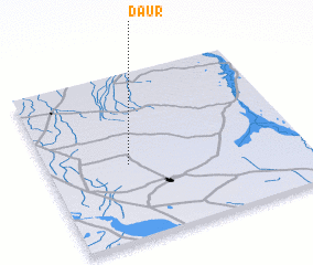 Places with similar names to Daur, Pakistan ::
Disclaimer :: Information on this page comes without warranty of any kind |
||
|
Where is Daur? Elevation and coordinates ::
Latitude (lat): 26°27'0"N Longitude (lon): 68°19'0"E
Elevation (approx.): 39m (map arrows pan, magnifying glasses zoom) |
||
|
Visiting Daur? Hotel/Accommodation ::
Book a hotel in Daur Travel Guide ::
Buy a travel guide for Pakistan rental cars ::
car rental offers GPS waypoint ::
download a GPX waypoint (PoI) of Daur for your GPS receiver
|
||