|
search place name
|
||
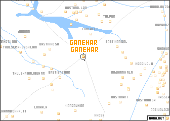
Ganehar (Punjab, Pakistan)Ganehar is a town in the Punjab region of Pakistan. An overview map of the region around Ganehar is displayed below.
regional and 3d topo map of Ganehar, Pakistan ::
Ganehar airports ::
The nearest airport is MUX - Multan Intl, located 117.5 km north east of Ganehar.
Other airports nearby include RYK - Rahim Yar Khan Sheikh Zayed (148.1 km south), SUL - Sui (164.0 km south west), PZH - Zhob (200.1 km north west), SKZ - Sukkur (267.9 km south west), Nearby towns ::
Ganehar (1.6km north) //
Thul Āllu (6.0km north) //
Basti Babbar (6.1km south west) //
Jhuga Thamyār (6.7km west) //
Basti Mangal (6.9km north east) //
Basti Khosa (7.1km west) //
Maskanwāla (7.5km east) //
Basti Babbar (8.5km north) //
Bhattiwāla (8.3km south west) //
Najwāniwāla (8.1km south east) //
Talpur (9.2km north) //
Faqīrwāli (8.7km south east) //
Kāla Babbar (9.0km south west) //
Talpur (9.9km north east) //
[all distances 'as the bird flies' and approximate] 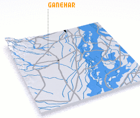 Places with similar names to Ganehar, Pakistan ::
Disclaimer :: Information on this page comes without warranty of any kind |
||
|
Where is Ganehar? Elevation and coordinates ::
Latitude (lat): 29°43'10"N Longitude (lon): 70°20'10"E
Elevation (approx.): 146m (map arrows pan, magnifying glasses zoom) |
||
|
Visiting Ganehar? Hotel/Accommodation ::
Book a hotel in Ganehar Travel Guide ::
Buy a travel guide for Pakistan rental cars ::
car rental offers GPS waypoint ::
download a GPX waypoint (PoI) of Ganehar for your GPS receiver
|
||