|
search place name
|
||
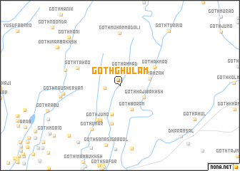
Goth Ghulām (Sind, Pakistan)Goth Ghulām is a town in the Sind region of Pakistan. An overview map of the region around Goth Ghulām is displayed below.
regional and 3d topo map of Goth Ghulām, Pakistan ::
Goth Ghulām airports ::
The nearest airport is KHI - Karachi Jinnah Intl, located 36.2 km south west of Goth Ghulām.
Other airports nearby include BDN - Talhar (149.2 km east), WNS - Nawabshah (154.6 km north east), Nearby towns ::
Goth Chutta (2.3km west) //
Goth Ahmad (2.6km north) //
Goth Hāji Bakhsh (3.8km south east) //
Goth Borām (4.1km south east) //
Goth Amīr Bakhsh (4.7km south) //
Goth Ramzāh (4.4km east) //
Goth Lāl Faqīr (6.1km south) //
Goth Ahmad (5.7km north east) //
Goth Depār (6.1km south west) //
Goth Jumo (6.3km south west) //
Goth Tahro (6.6km north west) //
Goth Umar (8.0km south west) //
Goth Muhammad Ali (8.2km north) //
Goth Jumman (8.1km west) //
Goth Mani (10.5km north west) //
Goth Ali Muhammad (10.7km south west) //
Goth Turpio (11.0km north east) //
[all distances 'as the bird flies' and approximate] 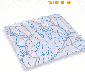 Places with similar names to Goth Ghulām, Pakistan ::
// Goth Ghulam (PK)
// Goth Ghulām (PK)
// Goth Ghulām (PK)
// Goth Ghulām (PK)
// Goth Ghulām (PK)
// Goth Ghulām (PK)
Disclaimer :: Information on this page comes without warranty of any kind |
||
|
Where is Goth Ghulām? Elevation and coordinates ::
Latitude (lat): 25°9'0"N Longitude (lon): 67°24'0"E
Elevation (approx.): 215m (map arrows pan, magnifying glasses zoom) |
||
|
Visiting Goth Ghulām? Hotel/Accommodation ::
Book a hotel in Goth Ghulām Travel Guide ::
Buy a travel guide for Pakistan rental cars ::
car rental offers GPS waypoint ::
download a GPX waypoint (PoI) of Goth Ghulām for your GPS receiver
|
||