|
search place name
|
||
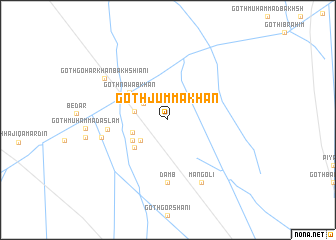
Goth Jumma Khān (Balochistān, Pakistan)Goth Jumma Khān is a town in the Balochistān region of Pakistan. An overview map of the region around Goth Jumma Khān is displayed below.
regional and 3d topo map of Goth Jumma Khān, Pakistan ::
Goth Jumma Khān airports ::
The nearest airport is SUL - Sui, located 91.6 km east of Goth Jumma Khān.
Other airports nearby include SKZ - Sukkur (104.1 km south east), MJD - Moenjodaro (132.7 km south), UET - Quetta (229.5 km north west), Nearby towns ::
Temple Dera (3.1km north west) //
Goth Atta Muhammad Khān Jamāli (3.4km west) //
Goth Arbāb Māchhi (3.6km south west) //
Goth Hāji Muhammad Murād Khān Jamāli (3.8km west) //
Goth Hāji Muhammad Murād Khān Jamāli (4.2km south west) //
Goth Hāji Muhammad Murād Khān Jamāli (4.5km south west) //
Goth Nawāb Khān (4.9km north west) //
Goth Allāhābād (6.1km west) //
Damb (6.9km south) //
Goth Atta Muhammad Khān Jamāli (6.8km west) //
Mangoli (7.7km south east) //
Goth Gohar Khān Bakhshiāni (7.8km north west) //
[all distances 'as the bird flies' and approximate] 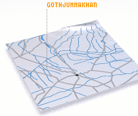 Places with similar names to Goth Jumma Khān, Pakistan ::
// Goth Jām Khān (PK)
// Goth Jumma Khān (PK)
// Goth Jumma Khān (PK)
// Goth Jumma Khān (PK)
// Goth Jumma Khān (PK)
// Goth Jumma Khān (PK)
// Goth Jumma Khān (PK)
Disclaimer :: Information on this page comes without warranty of any kind |
||
|
Where is Goth Jumma Khān? Elevation and coordinates ::
Latitude (lat): 28°31'45"N Longitude (lon): 68°15'0"E
Elevation (approx.): 67m (map arrows pan, magnifying glasses zoom) |
||
|
Visiting Goth Jumma Khān? Hotel/Accommodation ::
Book a hotel in Goth Jumma Khān Travel Guide ::
Buy a travel guide for Pakistan rental cars ::
car rental offers GPS waypoint ::
download a GPX waypoint (PoI) of Goth Jumma Khān for your GPS receiver
|
||