|
search place name
|
||
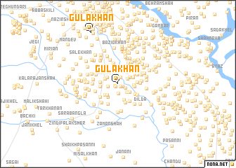
Gula Khān (North-West Frontier, Pakistan)Gula Khān is a town in the North-West Frontier region of Pakistan. An overview map of the region around Gula Khān is displayed below.
regional and 3d topo map of Gula Khān, Pakistan ::
Gula Khān airports ::
The nearest airport is PEW - Peshawar Intl, located 149.9 km north east of Gula Khān.
Other airports nearby include JAA - Jalalabad (170.7 km north), PZH - Zhob (200.0 km south west), KBL - Kabul Intl (229.9 km north west), SDT - Saidu Sharif (268.6 km north east), Nearby towns ::
Abdur Rahmān (0.5km south west) //
Gachi (0.6km south west) //
Sherdil Khān (0.6km south east) //
Sherdil Khān (0.8km south east) //
Nasar (1.0km north) //
Shādi Khān (1.2km south east) //
Landīdāk Khan Sūba (1.5km south) //
Landīdāk Shādi (1.3km west) //
Aiam Khān (1.5km north east) //
Som Nath (1.7km north west) //
Landak Shaikh (1.8km south east) //
Manzar (1.8km north east) //
Mīr Abbās Khān (1.9km north west) //
Mīra Khel (2.0km south east) //
Sikanoar (2.2km north east) //
Sāid Khān (2.1km south east) //
Khati Rām (2.3km south west) //
Sāid Khān (2.1km east) //
Hakīm Bhart (2.5km north east) //
Abdul Hakīm (2.3km north east) //
Ismāīli (2.5km south west) //
Surkamand (2.6km north) //
Multāni (2.7km south) //
Faīik Kalle (2.5km north east) //
Hāji Hakam Khan (2.5km south west) //
Aligaper (2.3km east) //
Muzaffar Khān (2.4km west) //
Faqīrābād (2.4km west) //
Bhart (3.0km north east) //
[all distances 'as the bird flies' and approximate]  Places with similar names to Gula Khān, Pakistan ::
// Kalaguhan (PH)
// Kalakahan (PH)
// Küllükhan (TR)
// Galukhino (RU)
// Golukhino (RU)
// Golykhino (RU)
// Galah Khāneh (IR)
// Galeh Khāneh (IR)
// Galeh Khūn (IR)
// Gol Khāneh (IR)
Disclaimer :: Information on this page comes without warranty of any kind |
||
|
Where is Gula Khān? Elevation and coordinates ::
Latitude (lat): 32°51'54"N Longitude (lon): 70°37'45"E
Elevation (approx.): 324m (map arrows pan, magnifying glasses zoom) |
||
|
Visiting Gula Khān? Hotel/Accommodation ::
Book a hotel in Gula Khān Travel Guide ::
Buy a travel guide for Pakistan rental cars ::
car rental offers GPS waypoint ::
download a GPX waypoint (PoI) of Gula Khān for your GPS receiver
|
||