|
search place name
|
||
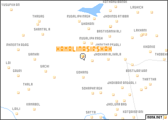
Hamāli Nāsir Shāh (Punjab, Pakistan)Hamāli Nāsir Shāh is a town in the Punjab region of Pakistan. An overview map of the region around Hamāli Nāsir Shāh is displayed below.
regional and 3d topo map of Hamāli Nāsir Shāh, Pakistan ::
Hamāli Nāsir Shāh airports ::
The nearest airport is PZH - Zhob, located 106.1 km north west of Hamāli Nāsir Shāh.
Other airports nearby include MUX - Multan Intl (122.0 km south east), Nearby towns ::
Jhok Hamāliwāli (1.6km east) //
Bhati (3.9km north) //
Gohand (3.9km south) //
Rudāli Phrāgh (4.0km north) //
Jhok Hamāliwāla (4.6km east) //
Jhok Thorewāli (5.3km north east) //
Dhamani (7.0km north) //
Soha Phrāgh (7.6km south) //
Chhapar (6.9km south west) //
Basti Isāniwāli (7.2km north east) //
Berānd (7.9km south east) //
Rudāli Phrāgh (8.7km north) //
Dāchi (7.7km west) //
Jhok Chakrāni (9.0km north east) //
Lilani (9.2km north east) //
Jhok Yārewāli (9.5km south east) //
Jhok Bairandwāli (9.6km south east) //
Jhok Roda Tibba (10.7km north east) //
[all distances 'as the bird flies' and approximate] 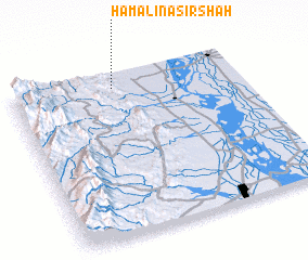 Places with similar names to Hamāli Nāsir Shāh, Pakistan :: Disclaimer :: Information on this page comes without warranty of any kind |
||
|
Where is Hamāli Nāsir Shāh? Elevation and coordinates ::
Latitude (lat): 30°54'55"N Longitude (lon): 70°27'0"E
Elevation (approx.): 337m (map arrows pan, magnifying glasses zoom) |
||
|
Visiting Hamāli Nāsir Shāh? Hotel/Accommodation ::
Book a hotel in Hamāli Nāsir Shāh Travel Guide ::
Buy a travel guide for Pakistan rental cars ::
car rental offers GPS waypoint ::
download a GPX waypoint (PoI) of Hamāli Nāsir Shāh for your GPS receiver
|
||