|
search place name
|
||
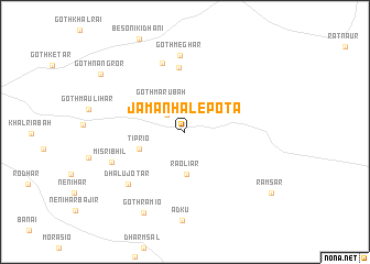
Jāman Hālepota (Sind, Pakistan)Jāman Hālepota is a town in the Sind region of Pakistan. An overview map of the region around Jāman Hālepota is displayed below.
regional and 3d topo map of Jāman Hālepota, Pakistan ::
Jāman Hālepota airports ::
The nearest airport is BDN - Talhar, located 127.6 km south west of Jāman Hālepota.
Other airports nearby include WNS - Nawabshah (188.6 km north west), JSA - Jaisalmer (194.5 km north east), Nearby towns ::
Goth Bajriār (2.4km north west) //
Goth Mārūbah (3.6km north west) //
Rāoliār (4.3km south) //
Tiprio (4.5km west) //
Sabo jo Padr (6.5km north) //
Goth Diātria (7.3km north) //
Goth Meghār (7.7km north) //
Dhālu jo Tar (7.4km south west) //
Misri Bhīl (7.4km south west) //
Goth Rāmio (9.0km south west) //
Goth Rāmio (9.0km south west) //
Goth Nangror (9.7km north west) //
Rāmsar (10.1km south east) //
[all distances 'as the bird flies' and approximate] 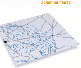 Places with similar names to Jāman Hālepota, Pakistan ::
// Jumman Hālepota (PK)
Disclaimer :: Information on this page comes without warranty of any kind |
||
|
Where is Jāman Hālepota? Elevation and coordinates ::
Latitude (lat): 25°19'20"N Longitude (lon): 69°59'15"E
Elevation (approx.): 61m (map arrows pan, magnifying glasses zoom) |
||
|
Visiting Jāman Hālepota? Hotel/Accommodation ::
Book a hotel in Jāman Hālepota Travel Guide ::
Buy a travel guide for Pakistan rental cars ::
car rental offers GPS waypoint ::
download a GPX waypoint (PoI) of Jāman Hālepota for your GPS receiver
|
||