|
search place name
|
||
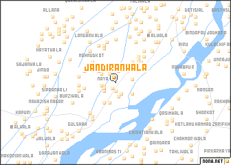
Jandirānwāla (Punjab, Pakistan)Jandirānwāla is a town in the Punjab region of Pakistan. An overview map of the region around Jandirānwāla is displayed below.
regional and 3d topo map of Jandirānwāla, Pakistan ::
Jandirānwāla airports ::
The nearest airport is MUX - Multan Intl, located 90.5 km south west of Jandirānwāla.
Other airports nearby include LYP - Faisalabad Intl (114.3 km north east), Nearby towns ::
Khagrānwāla (1.0km south west) //
Ināyāt Shāh (1.4km south) //
Riāzābād (1.6km north west) //
Naya (1.7km west) //
Retri Basti (1.9km north) //
Harlānwāla (1.8km south west) //
Syed Muhammad (2.0km south east) //
Haveli (2.0km south east) //
MāI Bagi (2.1km south west) //
Malki Basti (2.4km north) //
Sarīnwāla (2.4km south) //
Harlānwāla (2.0km west) //
Jhok Dargāhi Shah (2.6km north east) //
Haveli Makhdūm (2.4km north west) //
Metliānwāla Basti (2.4km east) //
Jai Wein (2.8km north west) //
Naolāwāla (2.8km north west) //
Bhonani Basti (3.0km south east) //
Rarriwāla (3.0km north west) //
Haslāna Pind (3.3km south) //
Sultānwāla (3.6km south west) //
Basti Kandewāli (4.0km north east) //
Mahmūd Kot (4.5km north west) //
Mīrnewāla (4.5km north east) //
Rāowāla (4.5km west) //
Basti Sultān Siāl (4.9km north east) //
Bāghwāla (4.8km north east) //
Makoriānwāla (4.7km north west) //
Basti Qāsim (5.2km north east) //
[all distances 'as the bird flies' and approximate] 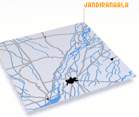 Places with similar names to Jandirānwāla, Pakistan :: Disclaimer :: Information on this page comes without warranty of any kind |
||
|
Where is Jandirānwāla? Elevation and coordinates ::
Latitude (lat): 30°53'15"N Longitude (lon): 71°56'0"E
Elevation (approx.): 142m (map arrows pan, magnifying glasses zoom) |
||
|
Visiting Jandirānwāla? Hotel/Accommodation ::
Book a hotel in Jandirānwāla Travel Guide ::
Buy a travel guide for Pakistan rental cars ::
car rental offers GPS waypoint ::
download a GPX waypoint (PoI) of Jandirānwāla for your GPS receiver
|
||