|
search place name
|
||
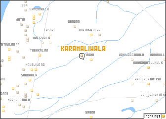
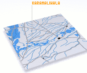
Karam Alīwāla (Punjab, Pakistan)Karam Alīwāla is a town in the Punjab region of Pakistan. An overview map of the region around Karam Alīwāla is displayed below.
regional and 3d topo map of Karam Alīwāla, Pakistan ::
Karam Alīwāla airports ::
The nearest airport is MUX - Multan Intl, located 63.7 km north of Karam Alīwāla.
Other airports nearby include RYK - Rahim Yar Khan Sheikh Zayed (172.4 km south west), LYP - Faisalabad Intl (249.6 km north east), PZH - Zhob (262.3 km north west), Nearby towns ::
 Places with similar names to Karam Alīwāla, Pakistan ::
// Karam Alīwāla (PK)
// Karmullāhwāli (PK)
Disclaimer :: Information on this page comes without warranty of any kind |
||
|
Where is Karam Alīwāla? Elevation and coordinates ::
Latitude (lat): 29°38'0"N Longitude (lon): 71°20'0"E
Elevation (approx.): 111m (map arrows pan, magnifying glasses zoom) |
||
|
Visiting Karam Alīwāla? Hotel/Accommodation ::
Book a hotel in Karam Alīwāla Travel Guide ::
Buy a travel guide for Pakistan rental cars ::
car rental offers GPS waypoint ::
download a GPX waypoint (PoI) of Karam Alīwāla for your GPS receiver
|
||