|
search place name
|
||
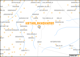
Kathāla Khokhrān (Punjab, Pakistan)Kathāla Khokhrān is a town in the Punjab region of Pakistan. An overview map of the region around Kathāla Khokhrān is displayed below.
regional and 3d topo map of Kathāla Khokhrān, Pakistan ::
Kathāla Khokhrān airports ::
The nearest airport is LYP - Faisalabad Intl, located 96.0 km north of Kathāla Khokhrān.
Other airports nearby include MUX - Multan Intl (160.2 km west), LHE - Lahore Allama Iqbal Intl (171.9 km north east), ATQ - Amritsar (213.9 km north east), Nearby towns ::
Ratta Watta (2.4km north west) //
Kot Kharral (3.7km south west) //
Nagar Aimanpur (3.7km north west) //
Luāna (4.0km north west) //
Budhwāla (4.0km south west) //
Rajjuwāla (3.7km north east) //
Mohlānwāla (4.9km south west) //
Tulla Bhulla (4.9km north east) //
Budh Dhakku (5.1km east) //
Shāhpur (5.8km north) //
Bangāli (6.4km south west) //
Rahīmpur (6.4km north west) //
Harīgarh (6.4km west) //
Kamīr (7.4km south) //
Rām Niwās (6.7km west) //
Kot Kaliār (7.6km north) //
Gangejah (7.4km north east) //
Gurdiālpur (7.4km north west) //
Lāl Tibba (8.8km north east) //
Islāmpur (8.5km south west) //
Kot Qānūngoi (9.8km south east) //
[all distances 'as the bird flies' and approximate] 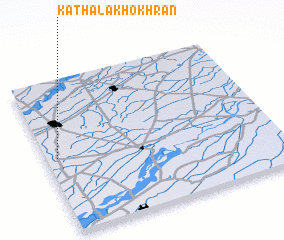 Places with similar names to Kathāla Khokhrān, Pakistan :: Disclaimer :: Information on this page comes without warranty of any kind |
||
|
Where is Kathāla Khokhrān? Elevation and coordinates ::
Latitude (lat): 30°30'0"N Longitude (lon): 73°3'0"E
Elevation (approx.): 158m (map arrows pan, magnifying glasses zoom) |
||
|
Visiting Kathāla Khokhrān? Hotel/Accommodation ::
Book a hotel in Kathāla Khokhrān Travel Guide ::
Buy a travel guide for Pakistan rental cars ::
car rental offers GPS waypoint ::
download a GPX waypoint (PoI) of Kathāla Khokhrān for your GPS receiver
|
||