|
search place name
|
||
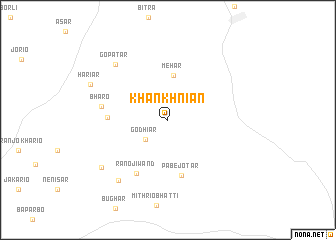
Khankhniān (Sind, Pakistan)Khankhniān is a town in the Sind region of Pakistan. An overview map of the region around Khankhniān is displayed below.
regional and 3d topo map of Khankhniān, Pakistan ::
Khankhniān airports ::
The nearest airport is BDN - Talhar, located 115.7 km west of Khankhniān.
Other airports nearby include BHJ - Bhuj (176.2 km south), IXY - Kandla (193.1 km south), WNS - Nawabshah (220.4 km north west), Nearby towns ::
Godhiār (3.1km south west) //
Mehār (5.0km north) //
Pābe jo Tar (6.3km south) //
Bhāru jo Tar (6.2km west) //
Rāno ji Wand (6.8km south west) //
Bharo (6.9km west) //
Gopa Tar (8.2km north west) //
Dābhi (8.5km south west) //
Rangīlo (8.5km south west) //
Hariār (8.8km north west) //
[all distances 'as the bird flies' and approximate] 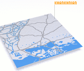 Places with similar names to Khankhniān, Pakistan ::
// Khang Ninh (VN)
Disclaimer :: Information on this page comes without warranty of any kind |
||
|
Where is Khankhniān? Elevation and coordinates ::
Latitude (lat): 24°51'10"N Longitude (lon): 69°59'0"E
Elevation (approx.): 76m (map arrows pan, magnifying glasses zoom) |
||
|
Visiting Khankhniān? Hotel/Accommodation ::
Book a hotel in Khankhniān Travel Guide ::
Buy a travel guide for Pakistan rental cars ::
car rental offers GPS waypoint ::
download a GPX waypoint (PoI) of Khankhniān for your GPS receiver
|
||