|
search place name
|
||
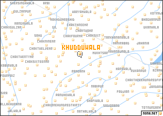
Khuddūwāla (Punjab, Pakistan)Khuddūwāla is a town in the Punjab region of Pakistan. An overview map of the region around Khuddūwāla is displayed below.
regional and 3d topo map of Khuddūwāla, Pakistan ::
Khuddūwāla airports ::
The nearest airport is MUX - Multan Intl, located 33.6 km north west of Khuddūwāla.
Other airports nearby include LYP - Faisalabad Intl (195.4 km north east), RYK - Rahim Yar Khan Sheikh Zayed (226.5 km south west), Nearby towns ::
Kīkarwāla (1.6km north) //
Chak One Hundred Thirty-seven (1.7km south) //
Chak One Hundred Thirty-eight Ten MR (1.6km east) //
Chak Six MR (2.0km north west) //
Chak One Hundred Thirty-nine Nia (2.4km south east) //
Chak Five MR (3.1km north) //
Ināyatpur Marral (3.3km north west) //
Mujāwarwāla (4.0km north) //
Rāmgarh (4.1km south) //
Chak One Hundred Twenty-three Nia (4.0km south) //
Mukhtsar (3.8km east) //
Khānqahwāla (3.8km west) //
Khānpur Marral (3.8km west) //
Awānwāla (3.9km south east) //
Chak One Hundred Thirty-nine Ten R (3.9km east) //
Chak One Hundred Thirty-nine (4.0km east) //
Chak Four MR (4.5km north) //
Shāh Machīnwāla (4.2km west) //
Chak Six T (4.9km north east) //
Chak One Hundred Twenty-three (4.8km south east) //
Chak One Hundred Thirty-five-Ten R (4.9km south west) //
Chak Seven MR (4.6km west) //
Chak Eight MR (4.9km north west) //
Chak Two MR (5.4km north) //
Basti Balochān (5.0km north east) //
Thatta Pauliān (5.4km south west) //
Chak One Hundred Twenty-five-Ten R (5.7km south) //
Thatta Jadīd (5.8km south west) //
Chak Fourteen (5.3km west) //
[all distances 'as the bird flies' and approximate] 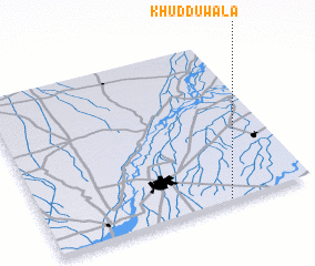 Places with similar names to Khuddūwāla, Pakistan ::
// Kahatawela (LK)
// Kahatawila (LK)
// Kahattewela (LK)
// Khaddewāla (PK)
// Khaduwāla (PK)
// Khiddūwāli (PK)
// Khidwāl (PK)
// Khotewāla (PK)
// Khotewāla (PK)
// Khotewāla (PK)
Disclaimer :: Information on this page comes without warranty of any kind |
||
|
Where is Khuddūwāla? Elevation and coordinates ::
Latitude (lat): 30°0'40"N Longitude (lon): 71°41'20"E
Elevation (approx.): 122m (map arrows pan, magnifying glasses zoom) |
||
|
Visiting Khuddūwāla? Hotel/Accommodation ::
Book a hotel in Khuddūwāla Travel Guide ::
Buy a travel guide for Pakistan rental cars ::
car rental offers GPS waypoint ::
download a GPX waypoint (PoI) of Khuddūwāla for your GPS receiver
|
||