|
search place name
|
||
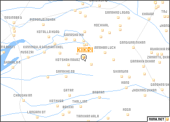
Kikri (North-West Frontier, Pakistan)Kikri is a town in the North-West Frontier region of Pakistan. An overview map of the region around Kikri is displayed below.
regional and 3d topo map of Kikri, Pakistan ::
Kikri airports ::
The nearest airport is PZH - Zhob, located 102.4 km west of Kikri.
Other airports nearby include MUX - Multan Intl (186.4 km south east), Nearby towns ::
Gara Mīr Alam Khān (1.4km south east) //
Khokhar (2.2km north west) //
Dasti (3.5km north) //
Gara Jat (3.6km north) //
Kot Shāh Nawāz (3.2km west) //
Gara Ghulām Sidiq (4.4km north) //
Garah Baluch (4.2km north east) //
Gara Shaikh (5.0km north west) //
Gara Khera (4.9km south west) //
Bhand (5.0km west) //
Garah Īsa Khān (5.4km east) //
Garah Ālam Khān (6.1km north east) //
Gandi Isab Khān (6.4km north) //
Gara Mihrbān (6.0km north west) //
Garah Mehrbān (6.8km north west) //
Mochiwāl (7.5km north east) //
Garah Shābāz Tilokar (7.7km north east) //
Gatār (8.1km south) //
Bābrān (8.4km south) //
Sikandra (7.7km south east) //
Ākhundzāda (7.8km south west) //
Kot Allāh Dad (8.6km north west) //
Garah Ramzi (9.5km north east) //
Dholkai Jadīd (10.1km north east) //
[all distances 'as the bird flies' and approximate] 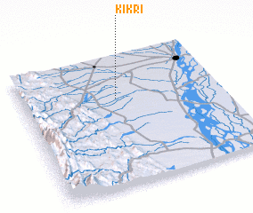 Places with similar names to Kikri, Pakistan ::
Disclaimer :: Information on this page comes without warranty of any kind |
||
|
Where is Kikri? Elevation and coordinates ::
Latitude (lat): 31°40'30"N Longitude (lon): 70°28'35"E
Elevation (approx.): 207m (map arrows pan, magnifying glasses zoom) |
||
|
Visiting Kikri? Hotel/Accommodation ::
Book a hotel in Kikri Travel Guide ::
Buy a travel guide for Pakistan rental cars ::
car rental offers GPS waypoint ::
download a GPX waypoint (PoI) of Kikri for your GPS receiver
|
||