|
search place name
|
||
Kotli Kānungo (Punjab, Pakistan)Kotli Kānungo is a town in the Punjab region of Pakistan. An overview map of the region around Kotli Kānungo is displayed below.
regional and 3d topo map of Kotli Kānungo, Pakistan ::

Kotli Kānungo airports ::
The nearest airport is IXJ - Jammu, located 55.0 km north of Kotli Kānungo.
Other airports nearby include IXP - Pathankot (58.3 km east), ATQ - Amritsar (59.9 km south), LHE - Lahore Allama Iqbal Intl (96.5 km south west), LUH - Ludhiaha Ludhiana (175.2 km south east), Nearby towns ::
Tondi (0.0km north) //
Sahāri (0.0km north) //
Isa (0.0km north) //
Nadāla (1.6km east) //
Chhajwāl (1.6km east) //
Masiāl (1.6km east) //
Raniāl (1.6km east) //
Maingra (1.9km north) //
Panju Chohān (1.9km south) //
Chhanga (1.9km south) //
Samrāi (1.9km south) //
Bhābra Jattān (1.9km south) //
Babrāl (2.4km north east) //
Bahuwāli (2.4km south east) //
Mān (2.4km north west) //
Kānungoi (3.1km east) //
Mallāh (3.7km south) //
Thikariān (3.6km north east) //
Chhechhiān (3.6km north east) //
Ago Munda (3.6km south east) //
Niāmatpur (3.6km south east) //
Natewāli (4.0km south east) //
Bāllu Kathāna (4.9km north east) //
Khāno Malhi (4.9km south east) //
Kāzi Motla (4.7km east) //
Kot Lālu (5.6km south) //
Lāliān (4.7km east) //
Chhina (5.6km south) //
Chak Dudhu (5.6km north) //
[all distances 'as the bird flies' and approximate] 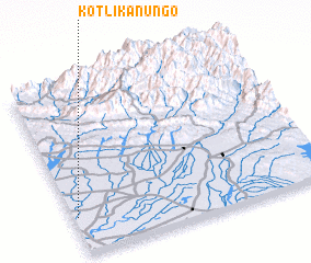 Places with similar names to Kotli Kānungo, Pakistan :: Disclaimer :: Information on this page comes without warranty of any kind |
||
|
Where is Kotli Kānungo? Elevation and coordinates ::
Latitude (lat): 32°13'0"N Longitude (lon): 75°1'0"E
Elevation (approx.): 252m (map arrows pan, magnifying glasses zoom) |
||
|
Visiting Kotli Kānungo? Hotel/Accommodation ::
Book a hotel in Kotli Kānungo Travel Guide ::
Buy a travel guide for Pakistan rental cars ::
car rental offers GPS waypoint ::
download a GPX waypoint (PoI) of Kotli Kānungo for your GPS receiver
|
||