|
search place name
|
||
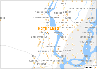
Kot Māldeo (Punjab, Pakistan)Kot Māldeo is a town in the Punjab region of Pakistan. An overview map of the region around Kot Māldeo is displayed below.
regional and 3d topo map of Kot Māldeo, Pakistan ::
Kot Māldeo airports ::
The nearest airport is LYP - Faisalabad Intl, located 87.2 km east of Kot Māldeo.
Other airports nearby include MUX - Multan Intl (135.6 km south west), Nearby towns ::
Munda Saiyid (0.0km north) //
Khibewāla (1.6km south) //
Dosa (1.6km west) //
Garhi Fateh Ullah (1.9km north) //
Chāh Raniwāla (2.2km north west) //
Chawāliwāla (2.5km south) //
Kotli Bāqar Shāh (2.4km south west) //
Sheroāna (2.4km north west) //
Bandāwāla (3.0km north west) //
Mullāniwāla (3.1km north) //
Chāh Pīrwāla (2.7km north west) //
Sadrwāla (3.3km south) //
Chāh Tehliwāla (3.0km west) //
Lohārānwāla (3.7km south) //
Subhiāna (3.2km east) //
Chhohan (3.7km north) //
Turk (3.7km north) //
Gusāinwāla (3.7km south) //
Chāh Māiwāla (3.7km south west) //
Chāh Ratanawāla (3.7km south west) //
Shāh Mahmūd (4.0km south west) //
Gājiābād (4.8km north) //
Rāmpur (5.0km south west) //
Fateh Shāh (4.9km south west) //
Chāh Khokharānwāla (4.8km north east) //
Malhewāla (5.3km south) //
Basti Baluchān (4.8km east) //
Jhākhi (5.6km north) //
Bindi Amīr Shāh (5.3km north east) //
[all distances 'as the bird flies' and approximate] 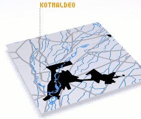 Places with similar names to Kot Māldeo, Pakistan ::
// Kot Māleda (PK)
// Guatemalita (HN)
Disclaimer :: Information on this page comes without warranty of any kind |
||
|
Where is Kot Māldeo? Elevation and coordinates ::
Latitude (lat): 31°17'0"N Longitude (lon): 72°5'0"E
Elevation (approx.): 151m (map arrows pan, magnifying glasses zoom) |
||
|
Visiting Kot Māldeo? Hotel/Accommodation ::
Book a hotel in Kot Māldeo Travel Guide ::
Buy a travel guide for Pakistan rental cars ::
car rental offers GPS waypoint ::
download a GPX waypoint (PoI) of Kot Māldeo for your GPS receiver
|
||