|
search place name
|
||
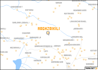
Maghzai Kili (Pakistan)Maghzai Kili is a town in Pakistan. An overview map of the region around Maghzai Kili is displayed below.
regional and 3d topo map of Maghzai Kili, Pakistan ::
Maghzai Kili airports ::
The nearest airport is PZH - Zhob, located 134.1 km south west of Maghzai Kili.
Other airports nearby include PEW - Peshawar Intl (216.3 km north east), Nearby towns ::
Shakhi Mela (4.5km south west) //
Shakhi Mela (4.8km south west) //
Umar Khān Faqīr Kili (5.8km south) //
Shakhi Mela (5.5km south west) //
Waruki (6.1km south east) //
Mamal Badzai Kili (5.8km north west) //
Dozakh Raghzai (5.9km west) //
Kanazai Sheikhan (6.7km south west) //
Lati (7.3km south) //
Umar Kili (7.3km south east) //
Zafar Khel Mānrai (7.2km north west) //
Begainme Kot (6.8km north west) //
Marwati (7.2km south east) //
Sulaiman Qahwa (7.2km north west) //
Shāh Madu (7.7km south east) //
Mian Bāgh (7.7km south east) //
Haidar Kirri (7.1km south east) //
Ashaki (8.4km south) //
Jandar (7.9km south east) //
Chukran (7.3km west) //
Ali Khel (7.9km south east) //
Chiod Algad Kili (9.0km north) //
Kiri Ashki (9.0km south) //
Urmar (8.8km south east) //
Azmat Khel (8.2km south west) //
Shān Khel (8.2km south west) //
Khisi Kili (8.3km north west) //
Muiya Kirri (8.9km north east) //
Batanni (9.7km south east) //
[all distances 'as the bird flies' and approximate] 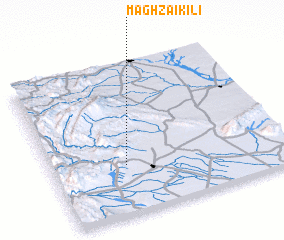 Places with similar names to Maghzai Kili, Pakistan :: Disclaimer :: Information on this page comes without warranty of any kind |
||
|
Where is Maghzai Kili? Elevation and coordinates ::
Latitude (lat): 32°19'28"N Longitude (lon): 70°18'56"E
Elevation (approx.): 412m (map arrows pan, magnifying glasses zoom) |
||
|
Visiting Maghzai Kili? Hotel/Accommodation ::
Book a hotel in Maghzai Kili Travel Guide ::
Buy a travel guide for Pakistan rental cars ::
car rental offers GPS waypoint ::
download a GPX waypoint (PoI) of Maghzai Kili for your GPS receiver
|
||