|
search place name
|
||
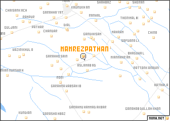
Mamrez Pathān (North-West Frontier, Pakistan)Mamrez Pathān is a town in the North-West Frontier region of Pakistan. An overview map of the region around Mamrez Pathān is displayed below.
regional and 3d topo map of Mamrez Pathān, Pakistan ::
Mamrez Pathān airports ::
The nearest airport is PZH - Zhob, located 122.9 km south west of Mamrez Pathān.
Other airports nearby include MUX - Multan Intl (231.7 km south east), PEW - Peshawar Intl (232.8 km north east), Nearby towns ::
Jamāl Awān (1.5km west) //
Garah Khaira Awāh (2.0km north east) //
Aslamābād (2.3km south) //
Daulat Khān (4.7km north) //
Kot Allāh Dād (4.2km north east) //
Miān Ka Garah (4.4km south west) //
Gandi Hisām (5.0km north) //
Bara Khel (5.3km north) //
Matta (4.9km south west) //
Garah Husain (5.1km west) //
Mashuka (5.4km north east) //
Rori (6.7km south west) //
Shāda (6.3km west) //
Mānjhi Khel (6.7km north east) //
Diāl (7.5km north west) //
Garah Nawāb Sāhib (7.6km south west) //
Miān Mahram (6.8km east) //
Jamāl Kurai (7.8km north west) //
Garah Muhabbat (7.4km south east) //
Mahram (8.2km north east) //
Chandar (8.3km north west) //
Ranwāl (9.1km north) //
Mithu (9.9km north west) //
[all distances 'as the bird flies' and approximate] 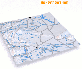 Places with similar names to Mamrez Pathān, Pakistan :: Disclaimer :: Information on this page comes without warranty of any kind |
||
|
Where is Mamrez Pathān? Elevation and coordinates ::
Latitude (lat): 32°6'29"N Longitude (lon): 70°25'8"E
Elevation (approx.): 230m (map arrows pan, magnifying glasses zoom) |
||
|
Visiting Mamrez Pathān? Hotel/Accommodation ::
Book a hotel in Mamrez Pathān Travel Guide ::
Buy a travel guide for Pakistan rental cars ::
car rental offers GPS waypoint ::
download a GPX waypoint (PoI) of Mamrez Pathān for your GPS receiver
|
||