|
search place name
|
||
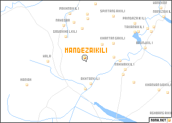
Mandezai Kili (Balochistān, Pakistan)Mandezai Kili is a town in the Balochistān region of Pakistan. An overview map of the region around Mandezai Kili is displayed below.
regional and 3d topo map of Mandezai Kili, Pakistan ::
Mandezai Kili airports ::
The nearest airport is PZH - Zhob, located 14.7 km south east of Mandezai Kili.
Nearby towns ::
Sināzai Kili (2.9km north east) //
Akhtar Kili (4.9km south) //
Charkundai Kili (4.8km north east) //
Dera (6.0km south) //
Akozai Kili (5.3km east) //
Gadai Khel Kili (6.6km north west) //
Khar Tanga Kili (6.5km north east) //
Tsazai Kili (7.2km north) //
Saiyid Akbar Kili (6.4km east) //
Wāla (7.1km west) //
Sherok Kili (7.5km east) //
Rahiwak Kili (7.5km east) //
Jalat Kili (8.9km north) //
Naweoba (8.9km north west) //
[all distances 'as the bird flies' and approximate] 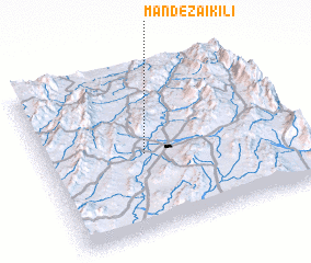 Places with similar names to Mandezai Kili, Pakistan ::
// Mandāzai Kili (PK)
// Montesegale (IT)
Disclaimer :: Information on this page comes without warranty of any kind |
||
|
Where is Mandezai Kili? Elevation and coordinates ::
Latitude (lat): 31°28'48"N Longitude (lon): 69°24'9"E
Elevation (approx.): 1488m (map arrows pan, magnifying glasses zoom) |
||
|
Visiting Mandezai Kili? Hotel/Accommodation ::
Book a hotel in Mandezai Kili Travel Guide ::
Buy a travel guide for Pakistan rental cars ::
car rental offers GPS waypoint ::
download a GPX waypoint (PoI) of Mandezai Kili for your GPS receiver
|
||