|
search place name
|
||
Mani Khel (Balochistān, Pakistan)Mani Khel is a town in the Balochistān region of Pakistan. An overview map of the region around Mani Khel is displayed below.
regional and 3d topo map of Mani Khel, Pakistan ::

Mani Khel airports ::
The nearest airport is PZH - Zhob, located 102.6 km north east of Mani Khel.
Other airports nearby include UET - Quetta (189.1 km west), SUL - Sui (217.5 km south), Nearby towns ::
Sabra (4.3km south) //
Pakhewal (4.0km north west) //
Barat Khel Kili (6.9km north west) //
Shahidān (8.7km north) //
Sraghara (8.5km north east) //
Shingora (8.7km north west) //
Kewa (9.5km north east) //
Girdai Kili (9.8km north west) //
Muashawāl (10.3km north east) //
[all distances 'as the bird flies' and approximate] 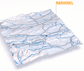 Places with similar names to Mani Khel, Pakistan ::
// Manākhullah (EG)
// Mānikkhola (BD)
// Menikhāli (BD)
// Monkey Hill (DM)
// Mīāneh Khāleh (IR)
// Manī Khel (PK)
// Mani Khel (PK)
// Mani Khela (PK)
// Miān Khel (PK)
// Mīna Khel (PK)
Disclaimer :: Information on this page comes without warranty of any kind |
||
|
Where is Mani Khel? Elevation and coordinates ::
Latitude (lat): 30°35'20"N Longitude (lon): 68°52'0"E
Elevation (approx.): 1537m (map arrows pan, magnifying glasses zoom) |
||
|
Visiting Mani Khel? Hotel/Accommodation ::
Book a hotel in Mani Khel Travel Guide ::
Buy a travel guide for Pakistan rental cars ::
car rental offers GPS waypoint ::
download a GPX waypoint (PoI) of Mani Khel for your GPS receiver
|
||