|
search place name
|
||
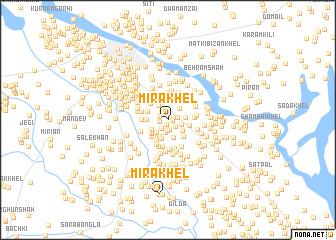
Mīra Khel (North-West Frontier, Pakistan)Mīra Khel is a town in the North-West Frontier region of Pakistan. An overview map of the region around Mīra Khel is displayed below.
regional and 3d topo map of Mīra Khel, Pakistan ::
Mīra Khel airports ::
The nearest airport is PEW - Peshawar Intl, located 142.9 km north east of Mīra Khel.
Other airports nearby include JAA - Jalalabad (163.9 km north), PZH - Zhob (207.0 km south west), KBL - Kabul Intl (225.4 km north west), SDT - Saidu Sharif (261.7 km north east), Nearby towns ::
Ismāil Khel (0.4km east) //
Ākhundān (0.5km south) //
Sarmast Khān (0.6km north east) //
Haidar (0.8km west) //
Mūsa Khel (0.9km north west) //
Mandra Khel (1.0km south) //
Bābar Kalle (0.9km east) //
Chapri (1.0km south east) //
Said Tughal Khel (1.1km south west) //
Pirān Tughal Khel (1.2km south) //
Khajram Khel (1.2km north west) //
Mandūri (1.3km north) //
Kalān Tughal Khel (1.4km south) //
Vāilzambīla (1.4km east) //
Chak Dādān (1.7km north east) //
Jhāngi (1.8km south west) //
Mad Āzam (1.8km south east) //
Kotka Muhammad Hussain (1.9km north west) //
Daulat Khel (1.7km east) //
Hāthi Khel (2.1km south) //
Diwāna Tughal Khel (2.0km south) //
Brahmān (1.9km south west) //
Kajal (2.1km south) //
Shābib Khān (2.1km south west) //
Zālam Dallo Khel (2.0km west) //
Khuchi Puchi (2.3km south west) //
Sāhib Khān (2.2km south west) //
Kotka Masīh Khān (2.4km north) //
Nanbezar Khān (2.1km north west) //
[all distances 'as the bird flies' and approximate] 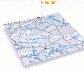 Places with similar names to Mīra Khel, Pakistan ::
Disclaimer :: Information on this page comes without warranty of any kind |
||
|
Where is Mīra Khel? Elevation and coordinates ::
Latitude (lat): 32°55'40"N Longitude (lon): 70°39'7"E
Elevation (approx.): 337m (map arrows pan, magnifying glasses zoom) |
||
|
Visiting Mīra Khel? Hotel/Accommodation ::
Book a hotel in Mīra Khel Travel Guide ::
Buy a travel guide for Pakistan rental cars ::
car rental offers GPS waypoint ::
download a GPX waypoint (PoI) of Mīra Khel for your GPS receiver
|
||