|
search place name
|
||
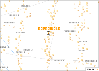
Paropīwāla (Punjab, Pakistan)Paropīwāla is a town in the Punjab region of Pakistan. An overview map of the region around Paropīwāla is displayed below.
regional and 3d topo map of Paropīwāla, Pakistan ::
Paropīwāla airports ::
The nearest airport is MUX - Multan Intl, located 86.9 km south of Paropīwāla.
Other airports nearby include LYP - Faisalabad Intl (148.1 km east), Nearby towns ::
Qādir Bakhshwāla (0.5km east) //
Gandiwāla (0.7km north west) //
Bhattiwāla (0.7km south west) //
Ghāzīwāla (1.1km east) //
Ladhrānwāla (1.3km south) //
Aorāwāla (1.4km north) //
Samandarwāla (1.4km north east) //
Jatiālānwāla (1.6km north) //
Mānjhīwāla (1.7km north) //
Jandwāla (2.0km south west) //
Qutbwāla (2.3km north) //
Korriwāla (2.3km south west) //
Tindawāla (2.5km south) //
Ismāīlwāla (2.5km north) //
Shāhwāla (2.5km south west) //
Makhniwāla (2.8km south west) //
Gujrāniwāla (3.8km south) //
Dargāhīwāla (3.9km north) //
Dhingānāwāla (3.9km north east) //
Tarkhānwāla (4.1km south) //
Burrewāla (4.5km north) //
Hassūwāla (4.6km north) //
Wali Dādwāla (4.9km south) //
Vichlewāla (5.0km north) //
Chāndiānwāla (5.0km south) //
Khizrawāla (5.4km south) //
Maulviwāla (5.5km south) //
Kheriānwāla (5.5km south west) //
Fatuhalwāla (6.0km south) //
[all distances 'as the bird flies' and approximate] 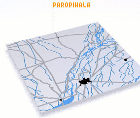 Places with similar names to Paropīwāla, Pakistan ::
Disclaimer :: Information on this page comes without warranty of any kind |
||
|
Where is Paropīwāla? Elevation and coordinates ::
Latitude (lat): 30°59'0"N Longitude (lon): 71°30'20"E
Elevation (approx.): 146m (map arrows pan, magnifying glasses zoom) |
||
|
Visiting Paropīwāla? Hotel/Accommodation ::
Book a hotel in Paropīwāla Travel Guide ::
Buy a travel guide for Pakistan rental cars ::
car rental offers GPS waypoint ::
download a GPX waypoint (PoI) of Paropīwāla for your GPS receiver
|
||